|
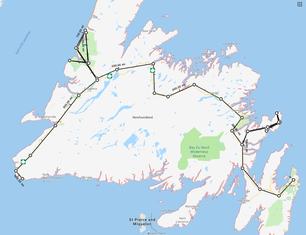
As our time at St. John's was over, it was time to point our noses back westward. Not only
was the season coming to an end and the turn of weather that implies, we were also starting
to have issues with one of our dogs. Vets in Newfoundland are hard to find and we didn't want to spend
a lot of time in the boonies while the dog was having problems. So we wanted to get back to
Nova Scotia where we would not be far from vets.
We also took clues from the nippiness in the air. The last thing we wanted was to get
caught in snow, especially since we don't have a four seasons trailer. Heck, our heater didn't
even work!
So we booked some RV parks on the way back for a night or two. Mainly we returned to
parks we had already stayed at. I waited until we got back to the west coast to reserve a slot on
the ferry to NS, mainly in case we had more problems with either the dog or the rig.
The single exception was when we stayed 4 nights at the Sea Breeze park in Cow Head.
We certainly didn't want to pass up Gros Morne National Park again, and there were a few places
we didn't get a chance to see on the leg from west to east.
| |
| |
[click to enlarge]
|
|
St. John's to Bonavista
[90028 - ---]
After you leave St. John's and travel north along the TCH [route 1], there are four turnoffs
in the vicinity of Clarenville. The furtherest south is Memorial Drive which goes north through
the town of Clarenville South and then merges with Manitoba Drive, which also
happens to be the second turnoff
from the TCH. After Manitoba and Memorial merge, the road becomes Memorial Drive
again and heads north and east through Clarenville proper. The third TCH exit is route 230 which goes northwest,
and the forth is route 233 which also goes northwest. Route 233 eventually merges into 230.
The town of Clarenville proper (not Clarenville South) is rather large by NL standards. It has some
large shopping areas and other amenities, but we didn't see much in the way of tourist attractions. There is a
Walmart though.
No matter which TCH turnoff you take, you will be heading northwest up to Bonavista and Trinity.
We elected to take route 230, which deserves some comment; it starts out well, but
quickly degenerates into the potholes-from-hell standard one soon comes to expect from non-TCH Canadian roads.
The terror remains until you get just past the exit to Trinity, and then it gets pretty good again
(with a few exceptions).
On the whole, the drive up 230, which takes about an hour, is unremarkable until you get close to the campground, and then there are a
couple of views that suggest what might be in store.
Paradise Farm Trailer Park
1N0, Discovery Trail, Hwy 230 Bonavista NL A0C-1B0
PO Box 61, Little Catalina NL A0C-1W0
Ph: 709.468.8811
paradisefarmrvpark@gmail.com
[no website]
11 Sept @ 3 nights, 40.00 C$ / night
| |
[click to enlarge]
|
| |
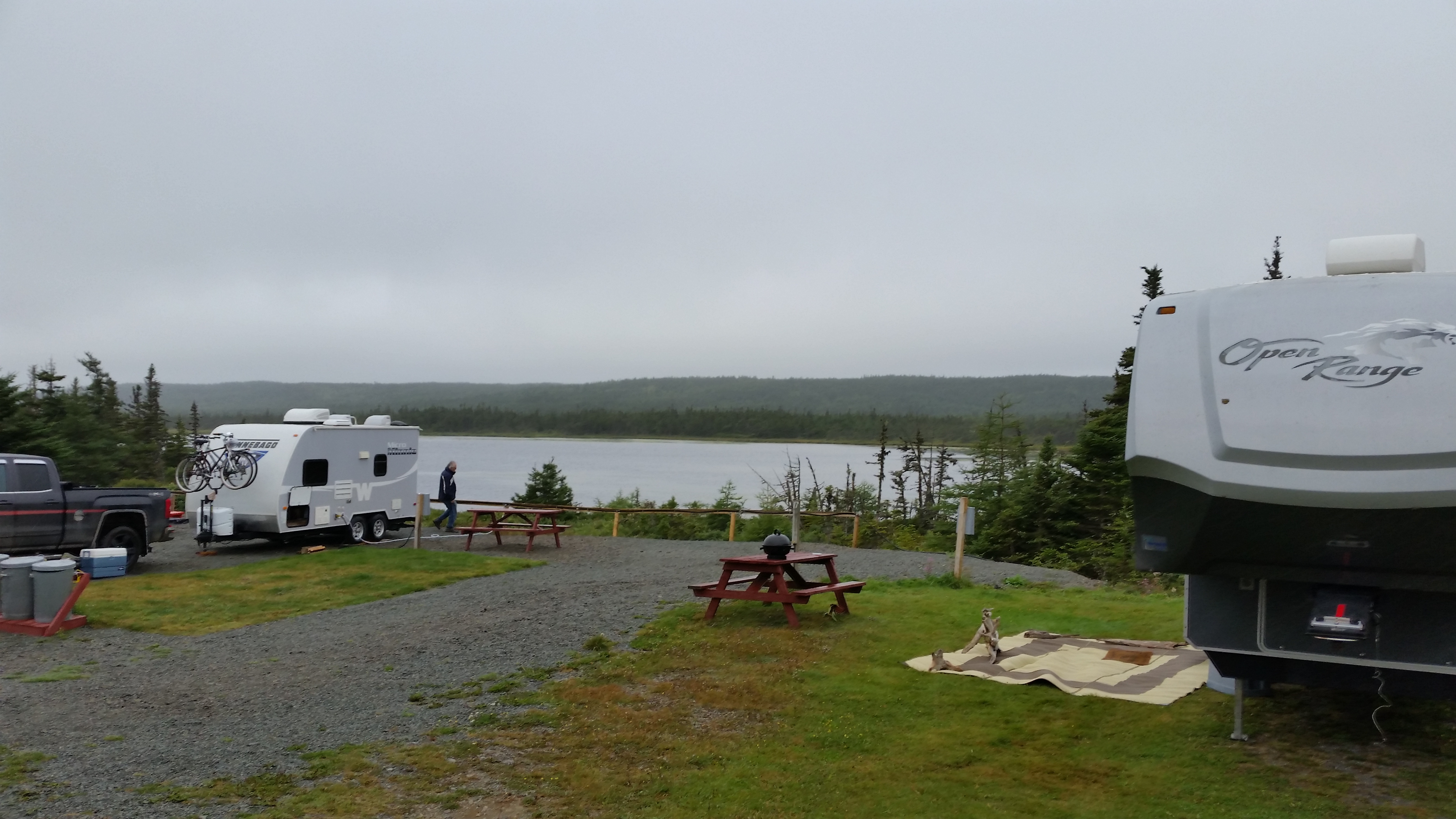
This campground is relatively small and all sites are back-in. The sites are spacious and
several
have lake views. When we came in, being late in the season, there were only two other rigs there, so we chose
a site (# 16) that backed up to the lake. Our site was level but some others may not be
- it depends greatly
on exactly how you pull into the site. All sites are either grass or gravel. Pull in and choose a site; the
owner will show up later.
There's a great deal of green space in the middle, and hence lots of room for the campground to grow.
I understand that this park is used a lot by caravans, so you might want to call first. Be aware that their sign
is very close to the park entrance, and you can go right past it if you're not looking.
|
There is 30/50 amp and water. No sewer, cable or wi-fi. There is a dump station,
and washrooms/showers.
No camp store. There is a newly constructed shed/barn with picnic tables, a fire pit and some outside chairs.
There is also a thoughtful little picnic area down close to the lake, which is nice for those
who aren't lucky enough
to have sites with lake views.
Some reviews,
say that they have sewer but I never saw any. They must be referring to the dump station.
A number of elec hookup boxes are some distance to the rear of the parking pads, requiring either an extra long line
or an extension, which most folks don't carry. Also, for some unexplainable eason they are facing toward the
rear, which
requires an extra foot or two of line in order to reach the rig.
The water faucet at our site didn't work. The owner later told me that the "real" faucet was further in the back!.
Yawn. It was
close to the ground so I never saw it, but luckily we had enough hose to reach the adjacent site. We're just glad
someone didn't choose to park there during our stay.
There is a dump station on the way out but it is on the wrong side!
Every rig I have ever seen has the sewer drain pipe
on the left (driver) side. With the dump on the right you either have to have a long sewer hose or an
extension in order to reach it, or you have to try to drive into the field and its obstacles.
There is a small area where you can pull in smaller rigs on the correct side but it is quite
clumsy for big rigs to do so. There was no water hose at the dump station; I don't know if someone took it
or if there was never one there. The owner needs to remedy this.
The loop around the campground is gravel, as are many of the sites.
The exit road from the dump station is very, very rough and needs to be graded. Rather than chancing it,
we elected to go back the same way we came in.
I do understand that this is a work in progress. The owner has done a lot of work to provide the basics, and is
still working hard at improvements. This has the potential of being a really nice campground but the owner has to
stop thinking like an owner and more like a camper to make it work.
The temps while we were there ranged from a low of 45 F at night to the low to high 60s during the day,
but sometimes rather drizzly.
On one of the three days we were there it was rather cold (54 F) and drizzly.
The other days it was sunny but somewhat windy.
They say the town of Elliston [the self-proclaimed root capital of the world] is renowned for puffins, but that's likely
earlier in the season. We were also told there was a big event a couple days after we left. Oh well.
Another place you might want to visit is the enticingly named Tickle Cove, one of the oldest settlements on the Bonavisa peninsula.

|
|
Click here to see photos of the Paradise Farm Trailer Park.
|
Bonavista
|
Bonavista is up 230, north of the campground. On the way up there are two gas stations
(one with diesel), a pharmacy, a Foodland,
a Dollar Store and an auto parts store. Bonavista is a rather large community by NL standards. However, it is mostly homes
with precious little in the way of services or tourist interest.
There is the Matthew boat exhibit that houses a full size
replicate of the 500-year-old Matthew, the sailing ship in which John Cabot (of Cabot Trail fame) sailed from Bristol to North America in 1497. This
replica was created entirely by local tradesmen. We found the exhibit very interesting, and being able to walk around on the
boat was a treat. See here for more info.
There are a few restaurants in town. We ate at the Harbour Quarters Inn and had seafood chowder and something called seafood lasagna
which I thought was delicious. It was rather unusual but very satisfying, especially on a chilly, rainy day.
The tab ran 61.73 C$.
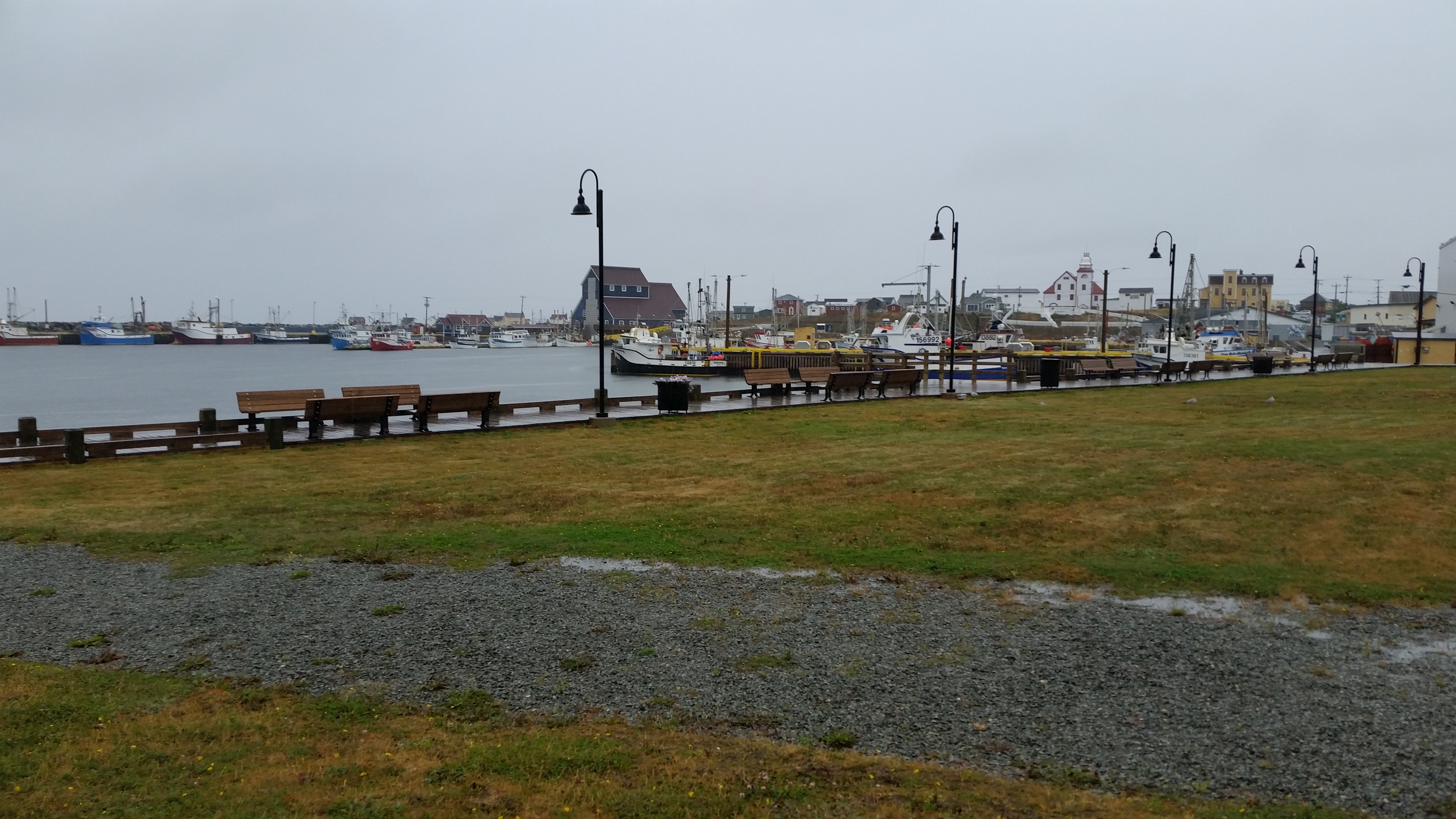
The high points of our visit to Bonavista was taking the little side roads and lanes down to the water. The views are great
and provide many photo ops.
We didn't get to either the lighthouse or the Dungeon Provincial Park.
As long as you're in the area you will want spend a few hours there, but the real highlight has to be the town of Trinity.
| |
| |
[click to enlarge]
|
|
Trinity
| |
[click to enlarge]
|
| |
Route 230 south of the campground holds some interesting treasures but you have to look for them. Driving south you will
encounter, in this order, a Western Petroleum with diesel, an auto repair shop, an Esso with diesel, English Harbor,
Champney's Arm, Two Whales coffee shop, Trinity East, a convenience store with gas, the Galley restaurant and route 239 to Trinity.
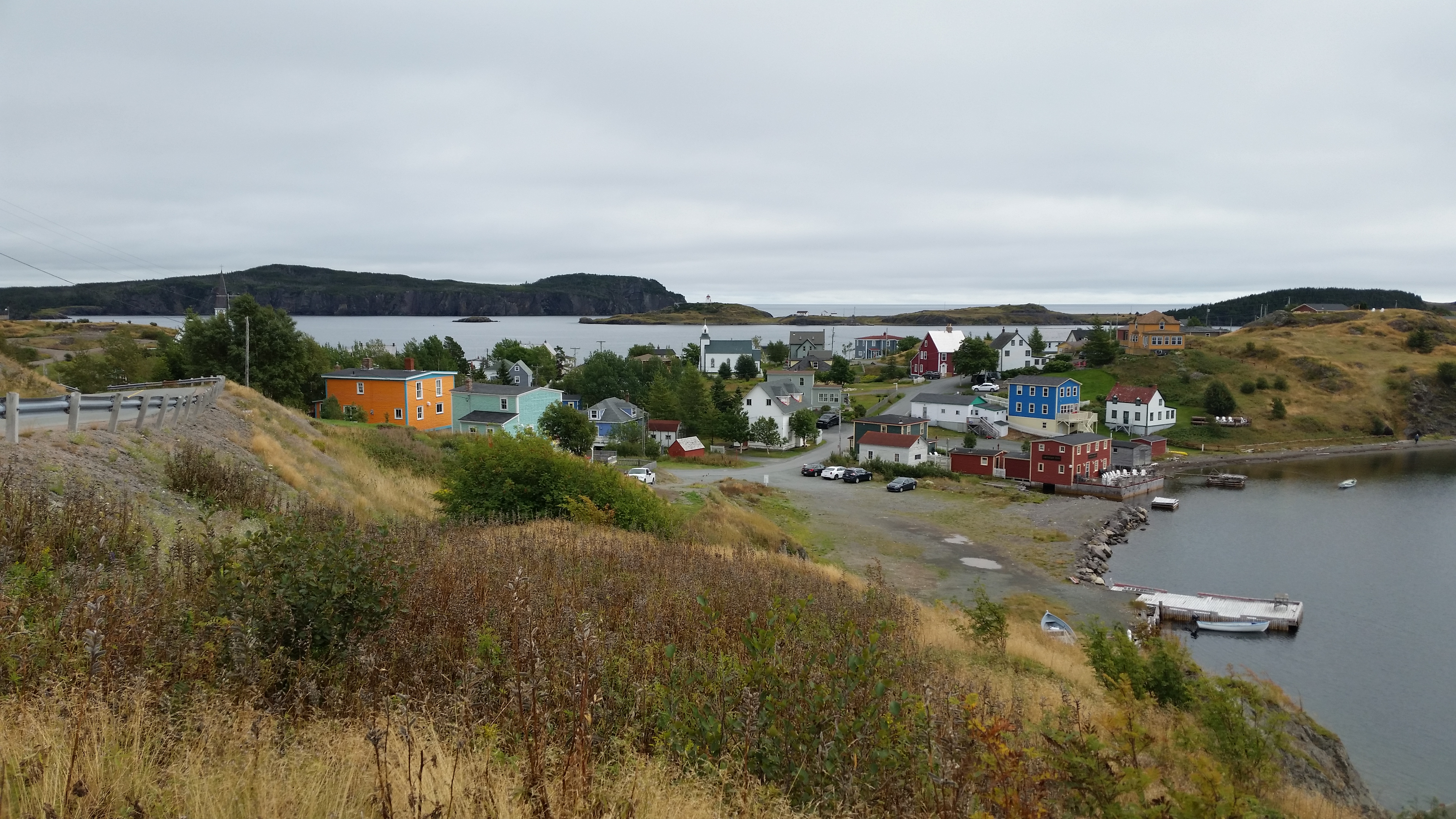
The little towns along the drive yield some very nice views and vistas.
We particularly enjoyed Champney's Arm, and Trinity
is also not to be missed. But these do not take anything away from the others - you would be doing yourself a disfavor not to visit
them. And by the way, as is usual with small seaside towns and villages, be sure to explore all the small roads and drives.
Some of our most gorgeous scenes have come as total surprises, simply because we said "Let's see what's down there."
|
I would be remiss to point out the little aquarium in Champney's Arm. Yes, an aquarium!
No, it's not what you might think of,
with colorful reef coral and fish. But it is a rather good exhibition of indigenous fish and other marine life. Besides,
just finding it is half the fun!
The town of Trinity is by far the most talked about. It is a quite picturesque little community.
I'm not going to say much more
about it - see for yourself. But I will offer the challenge that you should find the little ice cream
shop called Sweet Rock. Even if you're not in the mood for ice cream, they have one of the best panoramic views of the whole community.
We ate lunch at the Trinity Mercantile. The salmon on toasted bagel with onions and capers was excellent, as was their hot chocolate.

|
|
Click here to see photos of the town of East Trinity.
Click here to see photos of the town of Trinity.
Click here to see photos of the town of Champney's Arm.
Click here to see photos of the town of English Harbor.
|
Bonavista to Gros Morne
14 Sept 2018
[90318 - ---]
Heading back to the west coast of NL, we experienced more medical issues with out little poodle Snow White, so
we tried to expedite our journey back to the Nova Scotia ferry at Port aux Basques. But on the way back
we planned to take in the Gros Morne National Park
since we missed it on our way east. We'll spend about three days there, and then
beat a path to the ferry.
Driving directly from Bonavista to Gros Morne was too far to do in a single leap,
so we broke up the trip by returning to the Crescent Park RV Park in
Robert's Arm for the night
[see here]. We also wanted to say hi to our friends
Doug and Roz again. This also made the drive to Gros Morne much easier.
That night we ate at the little Spencer's Diner at Pilley's Island, which is part of the
Irving station on 380, about 15 minutes north of the campground.
The squid rings and mussels weren't bad but nothing special (43.00 C$).
We were originally going to stay at Sangor Park in Windsor for the night, but it was closed. I've had two or three different
people recommend it.
The weather was quite nice when we rose in the morning, a balmy 61 F, with sunshine and
only a little wind. The day promised to
only get better, which it did; around 75 F during the drive to Cow Head.
The drive along the TCH from Robert's Arm was unremarkable, mostly because it is inland with
few views to speak of. Since we wanted to go back to Gros Morne and see the things we missed
originally, we had to get off the TCH at Deer Lake and head back up 430 north. Almost immediately
after we got
onto route 430 we went by our old campground Gateway to the North. We didn't stay there again,
but rather headed on north up to Gros Morne. This involved yet more retracing of
our original path, but we didn't mind. It wasn't very far, and hey, it's Gros Morne!
Once we got into the Gros Morne National Park area things changed and wow, did they ever!
This might well be the most impressively gorgeous
drive of our stay in NL. With scenic mountains on the right and never-ending bodies of water on the left, it was very hard for
me to keep my eyes on the road. Mountains and water, greens and blues. This is the stuff of which songs and poetry are
made. It was like this all the way up to Cow Head.
Sea Breeze B&B and RV Park
17 Corner Road, Cow Head NL A0K-2A0
P.O. Box 189, Cow Head, Gros Morne National Park, NL A0K-2A0
Ph: 709.243.2888
Email: robertaherr@hotmail.com
Website
15 September @ 4 nights, 30 C$ / night
|
This is a little diamond of a campground. They are primarily a neatly manicured B&B that also has 7 RV sites.
What's so special is that each site is right next to
the ocean! They have 30 amp, water, sewer, a picnic table and good internet. There's not a lot
of room between sites but, come on,
who cares? It's all about the view, man!
We did trip their circuit breaker when we tried to use the microwave while a small space heater was running. I fear their 30 amp
might not be a full 30 amp.
We were in site # 4, and our rig was dead level when we unhooked. That was quite a surprise as it is
quite unusual for a gravel site,
and more than I can say for about 90% of the campgrounds we stayed at in NL.
| |

| |
[click to enlarge]
|
|
The lady who owns the place is very pleasant and helpful. When I checked in I told her what we wanted to do while there, and she
gave me lots of suggestions as well as maps and brochures. She also told me about a few things in town, like where to get park
passes and where to eat.
Be aware that there are two ways to get onto the street where the campground is.
The preferred way (heading north) is to make a
left at the southernmost of the two Cow Head exits off 340. This is Main Street which runs through town,
and comes out again onto 340 as the northern exit. Turn left at
Veteran's Drive [look for the Sea Breeze sign] and then take a right onto Corner Road. If you miss Veterans Dr,
continue down Main Street
and turn left at Corner Road. But be aware that on this end Corner Road is a narrow street with a sharp curve.
My GPS didn't do me
any favors coming in and ignored the turn at Veteran's Dr so I blew past it and
Corner Road further down, so I had to find a
place to turn around in town. Luckily there is a fire department with a large front pad sufficient to back in and come back.
I came back down to Corner Rd and made a right. I quickly feared that I had gotten myself into a fix with no place to turn
around until a passer-by told me that the campground was indeed just around the corner.
We scheduled three whole days here because there is so much to see; specifically, the Gros Morne park itself,
the Tablelands, the park
boat tour, Rocky Harbor and all the little seaside towns we have grown to love.
A warning - if you happen to be in site 4 as we were, and in a long rig, watch your step around your door. There are
unexplainably a couple of unused sewer pipe tops in the ground that are easy to trip over, especially at night. I didn't see
this particular oddity on any of the other sites.
Also note the standoff posts on the wooden fence that you can easily hit when backing in a big rig.
The weather was a bit chilly with a little wind, and it got down
to around 33 F. There was
snow on the mountain tops when we got up but it mostly melted away as the temp got up to a
balmy 45 F or so.

|
|
Click here to see photos of the Sea Breeze campground.
|
Cow Head
| |
[click to enlarge]
|
| |
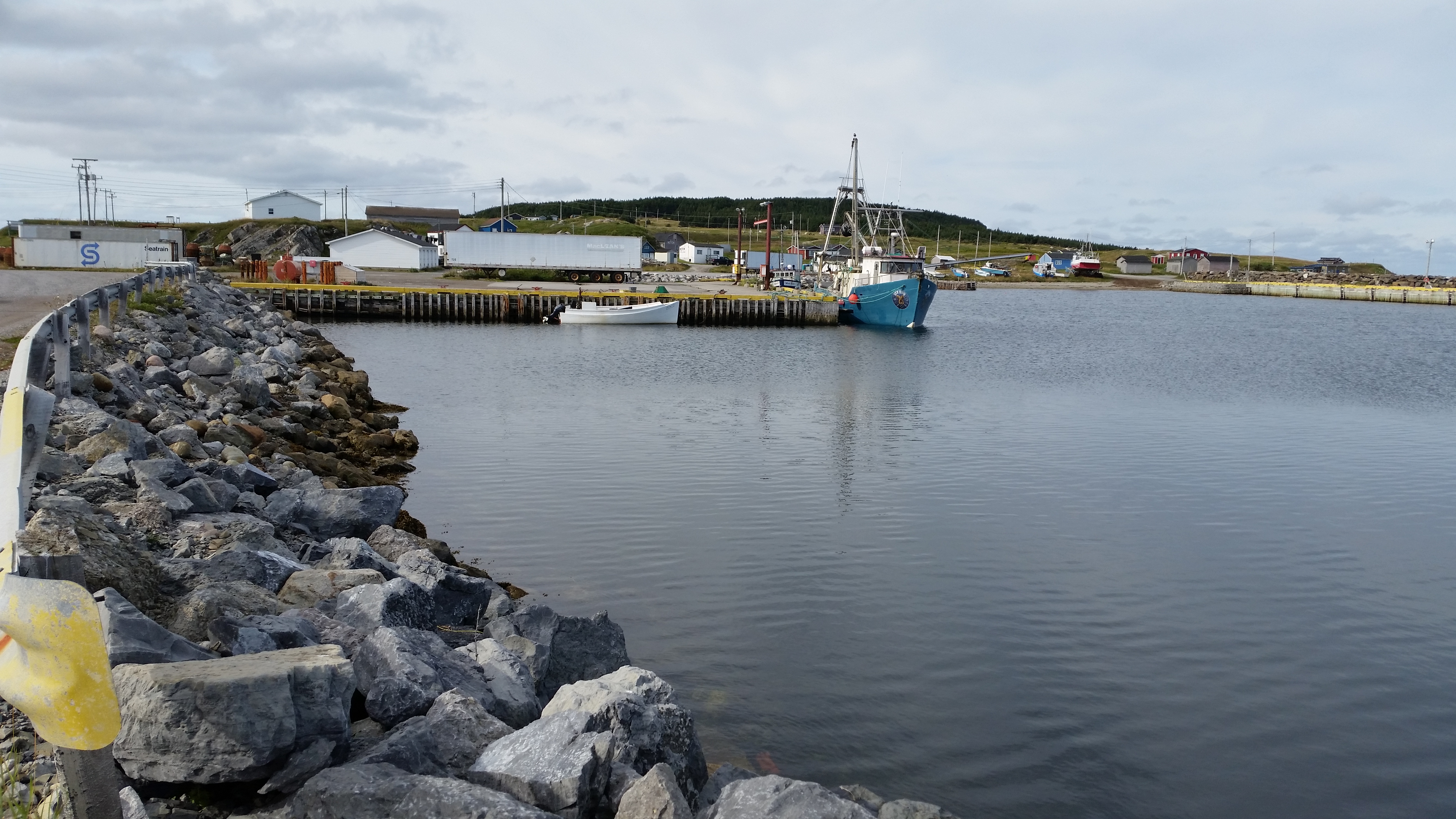
The town itself doesn't have a lot to offer RV-ers other than the campground.
The Shallow Bay Motel
seems to be the hap'nin place
in town, as they are also a pub and restaurant where we ate (54.17 C$).
Across the street is a coin-op laundromat they kindly allowed us to use.
Just down the street is a grocery store.
To see what's in the area, take Veteran's Dr up to the little marina
with working fishing boats. There is a little gravel
road leading to Tucker's Cove which is a rocky area with a nice view. In the same area is a little road leading up the hill
toward Lighthouse Trail. You can't drive to the lighthouse; you have to hike. We didn't do it,
but folks tell me it's
about an hour round trip with stops. They say the lighthouse is nothing special but the views are great. You can also get a
nice panorama from the parking lot at the amphitheater.
|
On the other (north) end of Main St is Shallow Bay. It was blocked off when we were there so we couldn't go all the way. Just
before the gate, on the left, is a road leading to another area with trails and lookoffs. This is also a point on the old
Mail Trail. Just before that there is a small dry camping area for small rigs or tents, with a pump for drinking water.
In the same area, on the right side of Main St is a little pull-off offering a panorama of Gros Morne.
Rocky Harbor, etc
|
Route 430 down to Rocky Harbor takes you by Western Brook Pond where there is a nice trail leading to a boat tour. You can easily
spot this place by the large parking area next to the highway, usually filled with vehicles.
Next, on the right is the road leading to the wreck of the
S.S. Ethie.
Lobster Cove Head comes next. The feature here is a little lighthouse with nice views.
Inside is an interesting
local museum, but the highlight is the guides that love to talk your head off about local lore,
especially shipwrecks.
The redhead of Scottish heritage that looks like she should be straight
out of Irish casting kept us fascinated for at least an hour with her
stories and history.
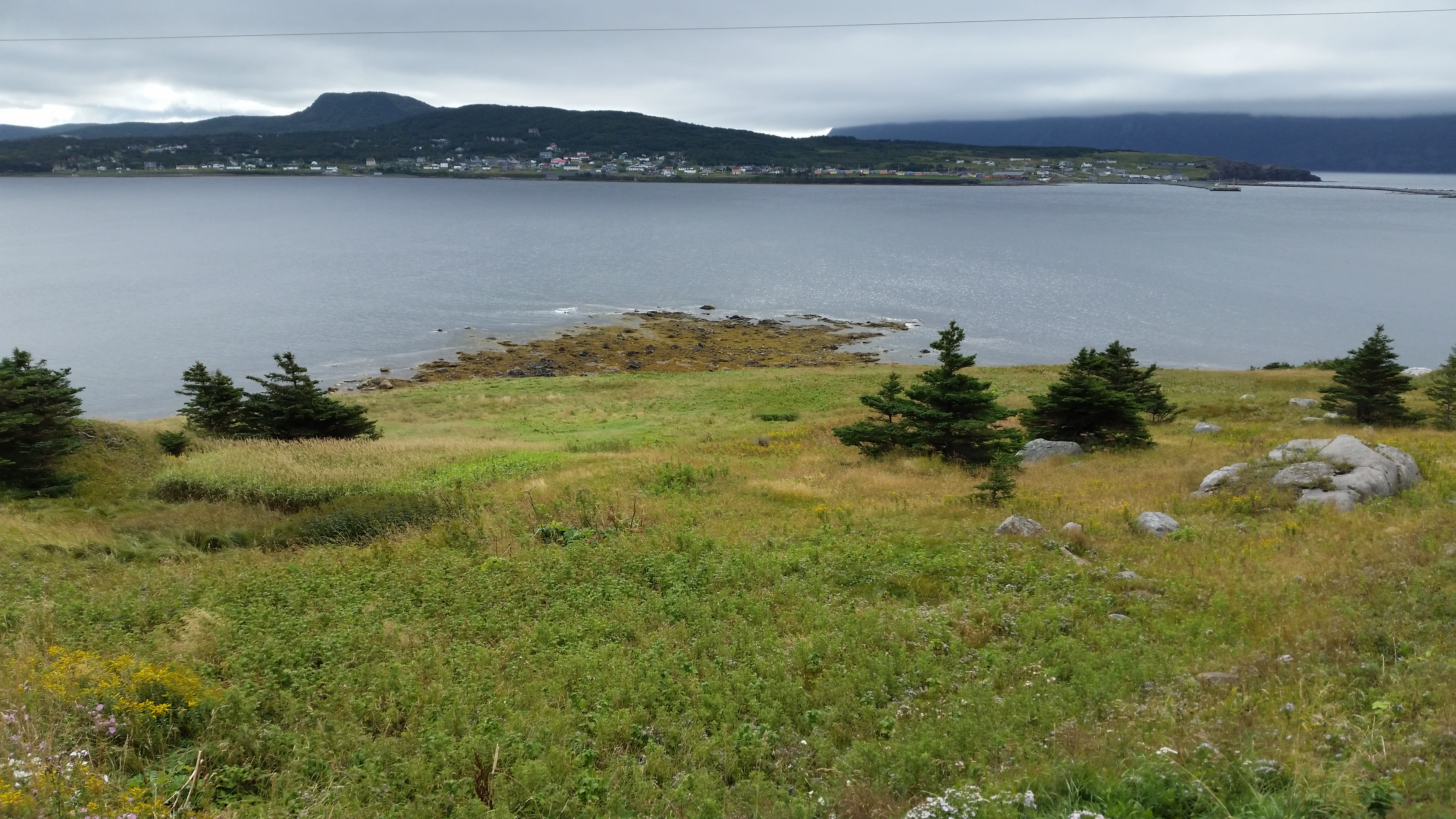
Rocky Harbor is a fairly large community with a post office, pubs, restaurants, a trading post, an Irving, a building supplies
store, an auto shop, a pharmacy, a general store and a campground.
| |
| |
[click to enlarge]
|
|
When we were there they were doing road construction causing long traffic holdups. You can always turn around and go back to
340, then go to the next Rocky Harbor exit and come back down on the other side of the
construction. This turned out to be a
good idea because there is a fresh seafood store at the end of the road, and a restaurant close by that has a great moose stew,
almost as good as mine! ☺
Norris Point, on 430-15 (aka Main St, aka Pond Rd), was our favorite part of this drive. It has gas, a pharmacy, a cafe, an aquarium, food and a bakery.
It is also the site of a passenger ferry to Bonne Bay [no vehicles on the ferry, but you can drive via route 431]. As far as what to see, I can only recommend that
you take as many little side roads and lanes as you can, no matter what they may look like. Some of our best photos here were
found by going down gravel roads that look like they might be someone's driveway. By the way, if you go down a small paved road
and see a house with a stuffed black bear on the porch, the guy that lives there loves to chat about, well, almost anything!
Gros Morne National Park
| |
[click to enlarge]
|
| |
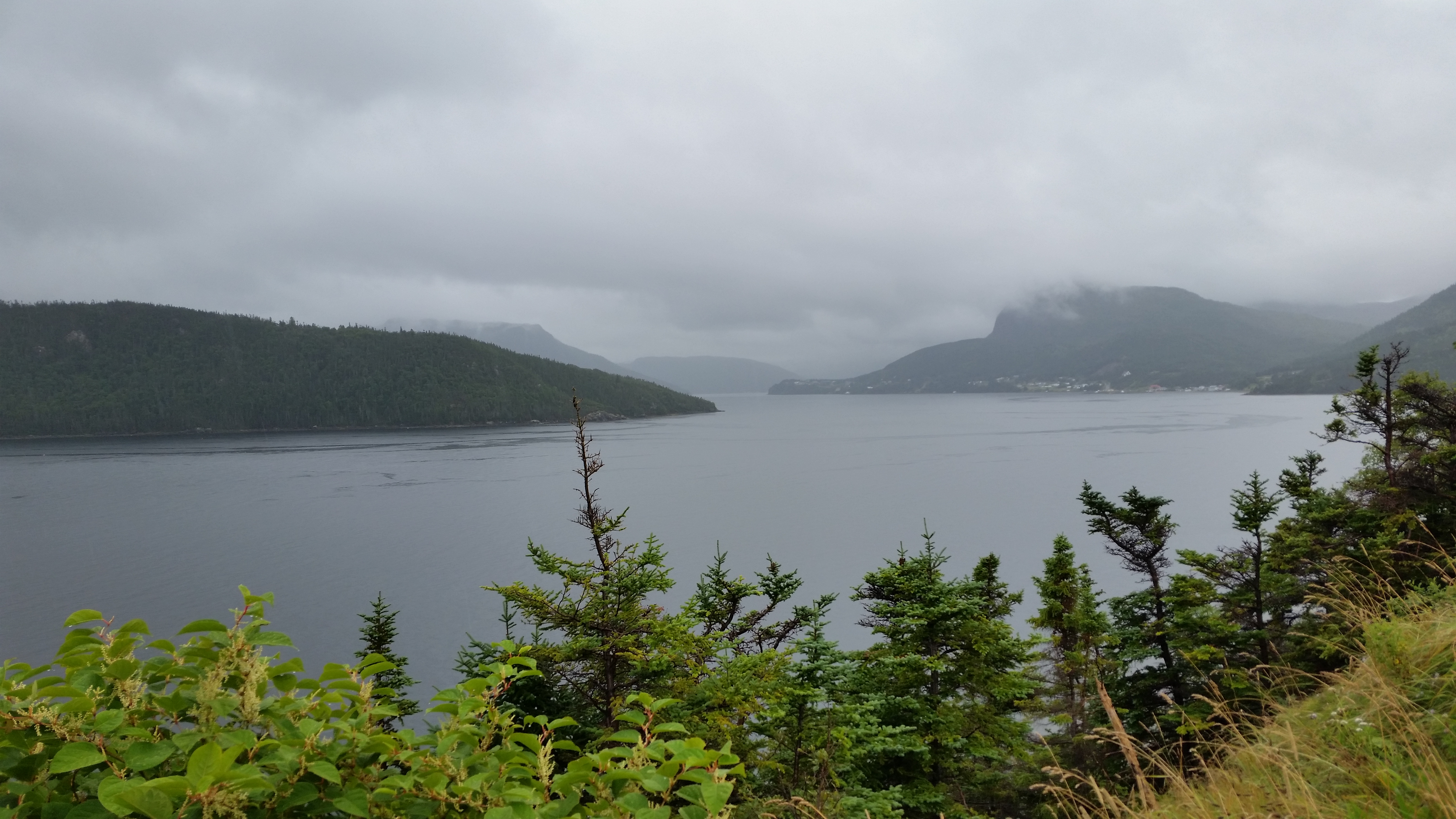
After careful consideration and much digging around in my vocabulary, the only word I could
come up with to express the magnificance of this area of Newfoundland is "Wow".
This park is immense; it makes Terra Nova look like a vegetable patch. Of course, it isn't quite as
majestic as the Rockies, and the surrounding waters aren't as grandiose as the Great Lakes, but the
combination of high mountains, green trees, blue waters and picturesque surroundings is hard to beat!
Unfortunately there aren't any roads to speak of where you
can drive back into the interior of the park. It is mostly hiking trails, of which there are many.
You can, however, drive down routes 430 and 431 and see a great deal of the park. The views of mountains and water are spectacular.
While we were in Cow Head I decided to drive down 431 and see the Tablelands. I know I'm getting old but I had completely
forgot that we took the same drive a while ago during the August timeframe. The further we drove, the more
familiar things got until it finally dawned on us that we had actually been there before. Yawn.
|
This does illustrate two points. One is that you can easily suffer overload from all the wonderful
things there are to see. The
other is that things sometime tend to run together, to the point that you forget where you are or where you've been. Things could
be worse, I guess.
Down 431 at Woody Point (aka Bonne Bay) there is a nice little RV campground called
Waters Edge right on the water, with magnificent views of the water and mountains.
They have 20 amp and water, which should be fine for smaller rigs but might not work out for larger ones. Call and talk to the
owner if you have doubts.
Talking about Woody Point, we ate at the Old Loft restaurant down on Water Street next to the water. If you are feeling a bit
peckish while there, give it a try - you won't be disappointed.
Continuing on down 431 to Trout River takes you by an area called the Tablelands. This is a very old,
mountainous area, formed about a half billion years ago which is the result of two continents, Africa and
North America, coming together.
Here you can actually hike along the earth's mantle, which is normally found far below
the earth's crust. Look for the parking area on the left where there are
guided tours
in the summer.
Returning to Nova Scotia on the ferry
[91056 - ---]
19 Sept 2018
Since we were in a hurry to get back, we eschewed staying again at the Grand Codroy campground,
and rather drove on down to the ferry. We wanted to take the night ferry back, mostly
because it would let the dogs sleep in the truck. The ferry leaves Port aux Basques around 11:45 pm.
I had timed it pretty good this time, so we
were able to get right on through the gate. Of course we had to wait in line for a few hours to get onto
the ferry.
There were no cabins available so we got reserved seating recliners instead. That's what we had
on the trip earlier and we survived nicely. The moral is that if you need a cabin, reserve early!
The ferry has a snack bar with pizza, hot dogs, drinks and the like.
It's nothing special but it does serve if you have a bad case of the munchies.
There is also a sit-down restaurant on board, although it only opens up shortly before the
ferry is scheduled to land. Someone really has to explain that one to me.
By the way, when getting onto the ferry
they confiscated a pretty plant that we had planned to bring home. They said
it wasn't the plant itself but rather the dirt that was the problem. Apparently they're having
a big problem with nematodes and don't want to contaminate Nova Scotia.
The ride over was uneventful and we both managed to get in a couple hours sleep.
I'm not posting any ferry photos here since they are essentially the same as those shown
for the original ride over from Nova Scotia.
Here is a link to one couple's experience on "The Rock". Included are
suggestions of neat places to visit along with some nice photos. Check it out!
 Go back to the previous leg of the journey
Continue on to the next leg of the journey
