|
Although we're certainly glad we made it all the way to St. John's, I have to confess that the eastern part of Newfoundland wasn't exactly the high point
of our trip. Now don't get me wrong, St. John's was interesting and we enjoyed our little side trip out to Bell Island, but I
guess we had become somewhat jaded by all our previous experiences.
If we had it to do over again, and didn't have the dogs with us, it would have been better to take the long
ferry from NS. By so doing we probably would have appreciated St. John's and the rest of the east coast more because
we wouldn't be comparing it to the rest of NL, especially the Northern Peninsula.
Another advantage to arriving on the long ferry and then working our way east is that we wouldn't have had to
traverse the northern part of the island twice. That would have cut a week or more off the trip.
But that said,
we really didn't mind recovering old ground since there is so much to see there.
| |
| |
[click to enlarge]
|
|
Terra Nova National Park to St. John's
[89540 - 89713]
The TCH from Terra Nova to St. John's is pretty good, with only a few bad spots. It goes past the actual town of
Terra Nova, and the fairly big town of Clarenville, through the town of Come By Chance, and on to St. John's.
Along the way there are at least three gas stations with diesel. When you get close to St. John's you can see a
big refinery in the distance up on the right.
There is lots of nice scenery on the TCH drive, including many small and large lakes. It is unfortunate that
some of the rocks were marred with graffiti.
Be aware that your vehicle's nav system may show from time to time that you are headed west or southwest,
when you know darned well you should be heading east. Due to all the big lakes in the area the TCH often veers
around them in a way that takes you in a westerly direction for a bit. So don't be alarmed and think that you're
going back to Deer Lake again! These diversions are brief and you likely won't see them on
Google Maps.
Our Sprint phone coverage was pretty good for most of the way, although there were occasional dropouts.
Pippy RV Park, St. John's NL
34 Nagles Pl, St. John's NL A1B-3T2
Ph: 709.737.3669
Website
6 Sept @ 5 nights, 52 C$ / night
|
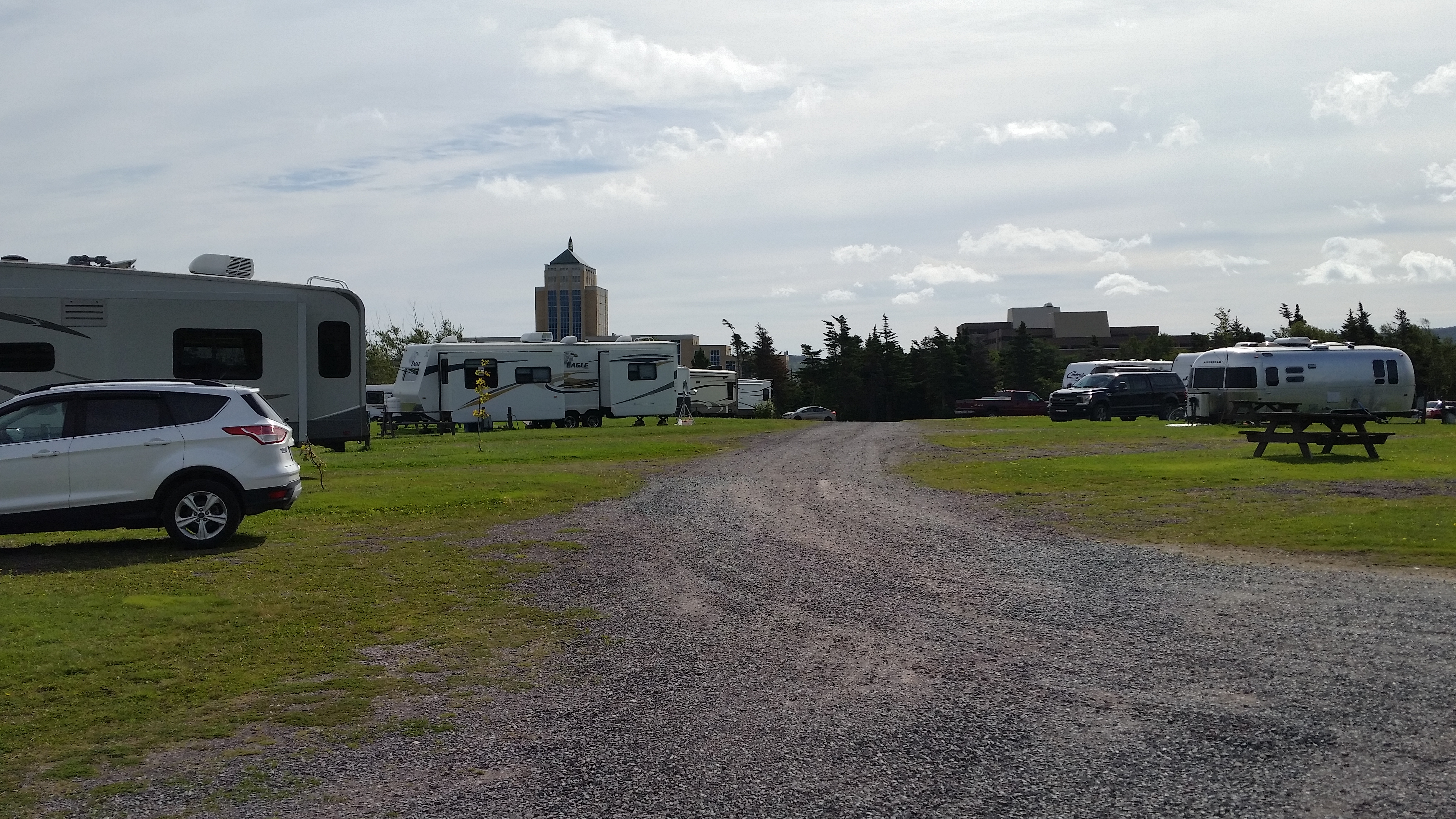
Several peoplehad told me that this is 'the' RV park to go to in St. John's. They were right.
We really liked this campground. It is large and spacious with almost 200 sites, including tent areas.
Each site has 30 or 50 amp, water and sewer; no cable. Loop 4 also has wi-fi access but is a little more expensive.
The internet seemed to perform well; I only had to re-connect a couple times during our four night stay.
Our site # 151 was gravel and reasonably level. The water faucets have pressure relief valves, which is nice
considering how playfully chaotic Canadian water pressure can be. Of course you should have your own pressure
protection, especially in Canada, but it's nice that it's there if you don't. There is a playground, camp store and laundry.
The sites are not close to each other, and there are garbage cans at most sites. They have planted new trees
on many sites so, in a few years, the sites will look more mature. There are no fire rings, and I don't know what
their policy is about fires. As the campground is in the city itself, fires may not be allowed.
| |
| |
[click to enlarge]
|
|
Each of the four loops is well hidden from each other. There is a running trail through the
campground that extends outside of the grounds;
it may be part of the extensive Long Pond Walk trail that goes to Long Pond, Kents Pond
and the Quidi Vidi Lake. Ask about it at the campground if you're interested in a hike.
There are lots of pretty wildflowers on the outer roads. Our loop was about 60% utilized while we were there.
It isn't surprising there would be that many units that late in the season, since a lot of people come in on the
Port aux Basques ferry and take quite a while to get there, especially if they visit as many places as we did.
The entry and exit are gated, but there is someone at the entry gate 24/7.
Current and future campground owners and designers would do
well to study this campground's layout and facilities.

|
|
Click here to see photos of the Pippy Park campground.
|
St. John's
| |
[click to enlarge]
| | |
| |
[click to enlarge]
|
| |
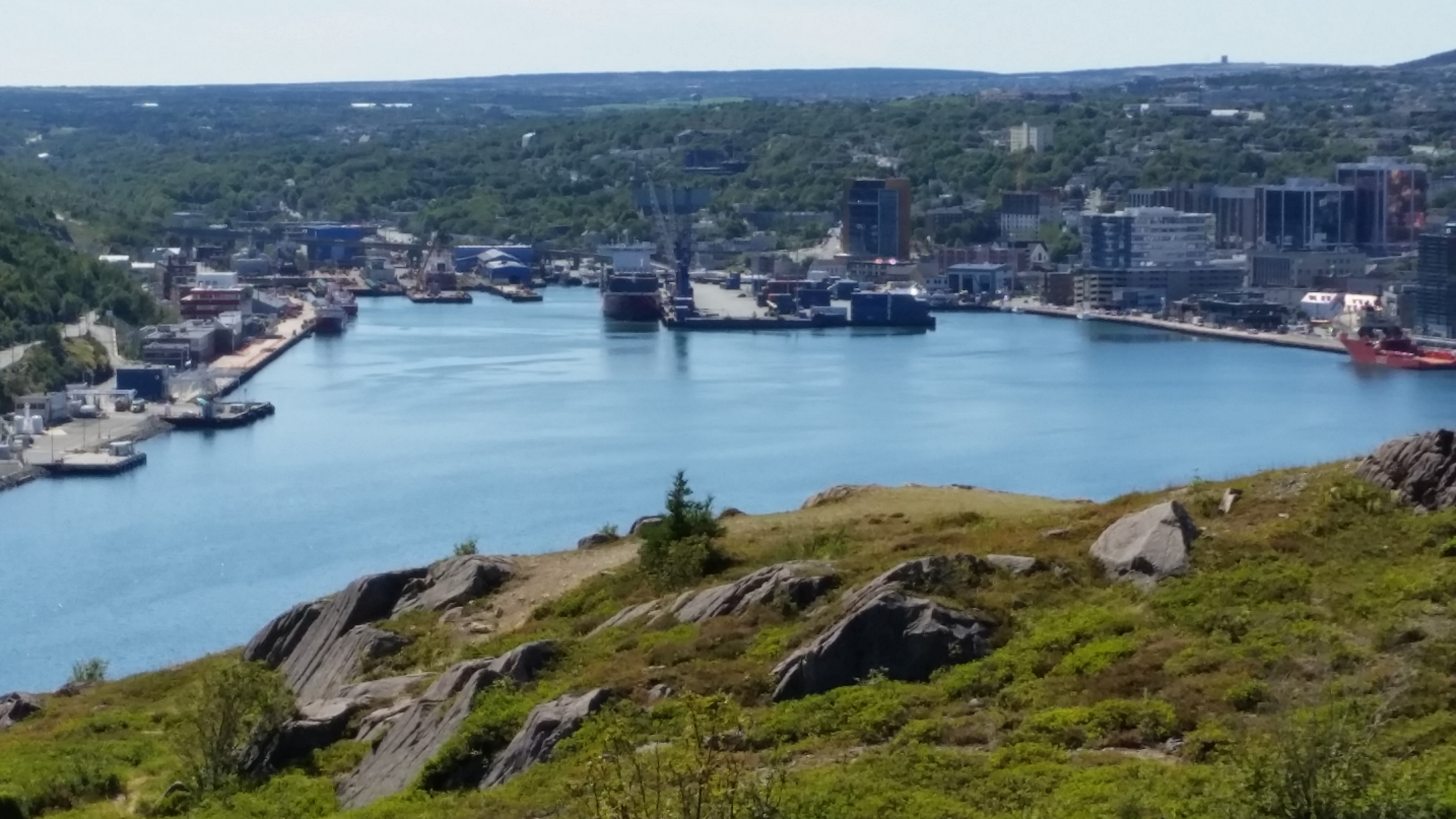
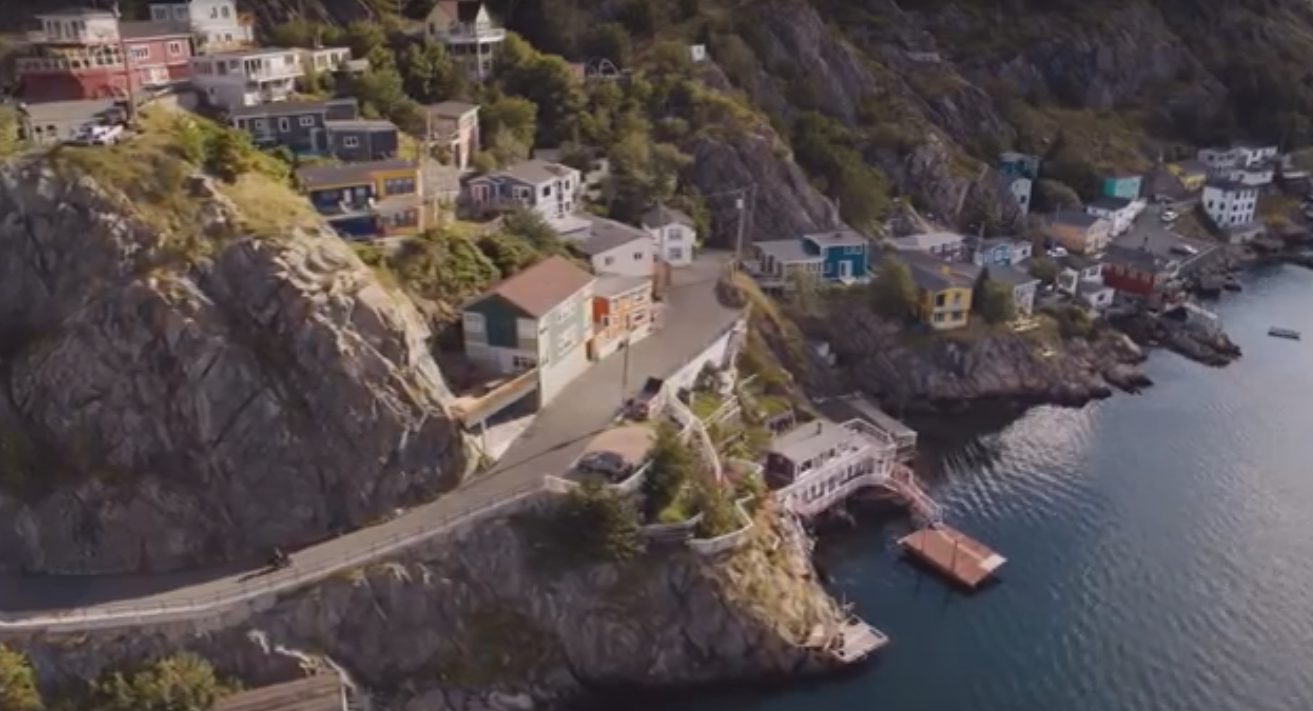
This is an eclectic harbor town with a mixture of heavy and light industry, residential and tourism. As you come
toward town on the TCH you will see a gazillion tightly packed homes on the hillsides. I don't know how much of this is
due to the oil refinery outside of town but I suspect it's a lot.
The downtown harbor area seems to be more oriented toward work activities than tourism.
We didn't see much in the way
of classic tourist attractions you would find in places like San Francisco, Boston or Seattle where the waterfront
areas are teeming with places to shop, eat and drink.
There is a fairly large shopping area just off the TCH in St. John's. It is located on the
north side of the TCH
on route 20, and is a shopping mecca by Newfoundland standards. There are, among other things, a Costco, Best Buy, PetSmart, Staples,
Canadian Tire, Kent building supplies, NAPA auto parts, Starbucks, McDonalds, Tim Hortons and a couple hair solons.
There are a few gas stations [the Irving has diesel] and several places to eat.
They are all within the same general vicinity.
There are also other shopping areas in town. For example, on Torbay Road south of the TCH [major crossroad is Newfoundland Dr]
there is a Sobeys, a large pharmacy and some fast food places. If you need a vet, Torbay Road Animal Hospital is in the
same area. This is especially good to know since vets are few and far between in NL.
You might be interested to know that St. John's is the oldest city in North America.
John Cabot was believed to have landed in the harbour around 1497. It was incorporated
in 1888. I was surprised to find out that the town was named after the Nativity of John the Babtist,
not John Cabot. This city's name contains an apostrophe, whereas the St. John in New Brunswick
does not.
If you find yourself needing an RV dealer, Islander RV is just northwest of town on the TCH.
|
George Street
|
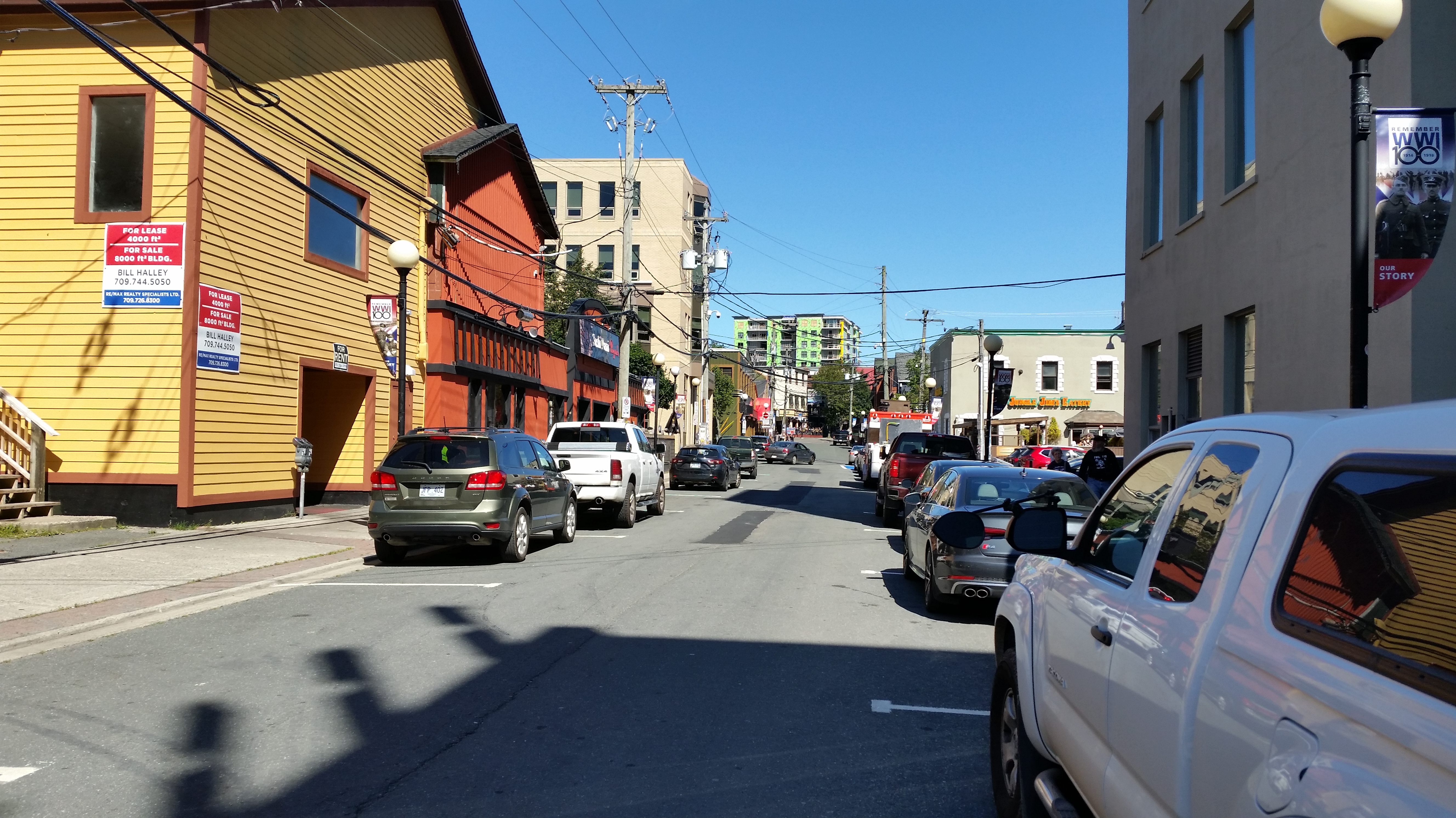
George Street has the reputation of being "the" place for drinking and fun in St. John's,
with pubs, bars and restaurants. Personally, I didn't see think so.
Now admittedly we visited during the day, which isn't exactly prime drinking hours, but I did expect more
activity. When you go to places like New Orleans, Cape Cod, Key West or the San Francisco waterfront, it
doesn't matter when you go. Those places are always hopping, just more so at night. In all fairness, some
of the articles I looked up do say that the place comes alive around midnight. If you go there and find
otherwise, let me know and I will amend the blog accordingly.
Surprisingly, the street is actually only two blocks long. It used to be six blocks before the construction
of the convention center. Due to its length, it's hard to find, and road construction in the area didn't make
things any easier.
| |
| |
[click to enlarge]
|
|
Signal Hill and Cabot Tower
Website
| |
[click to enlarge]
|
| |
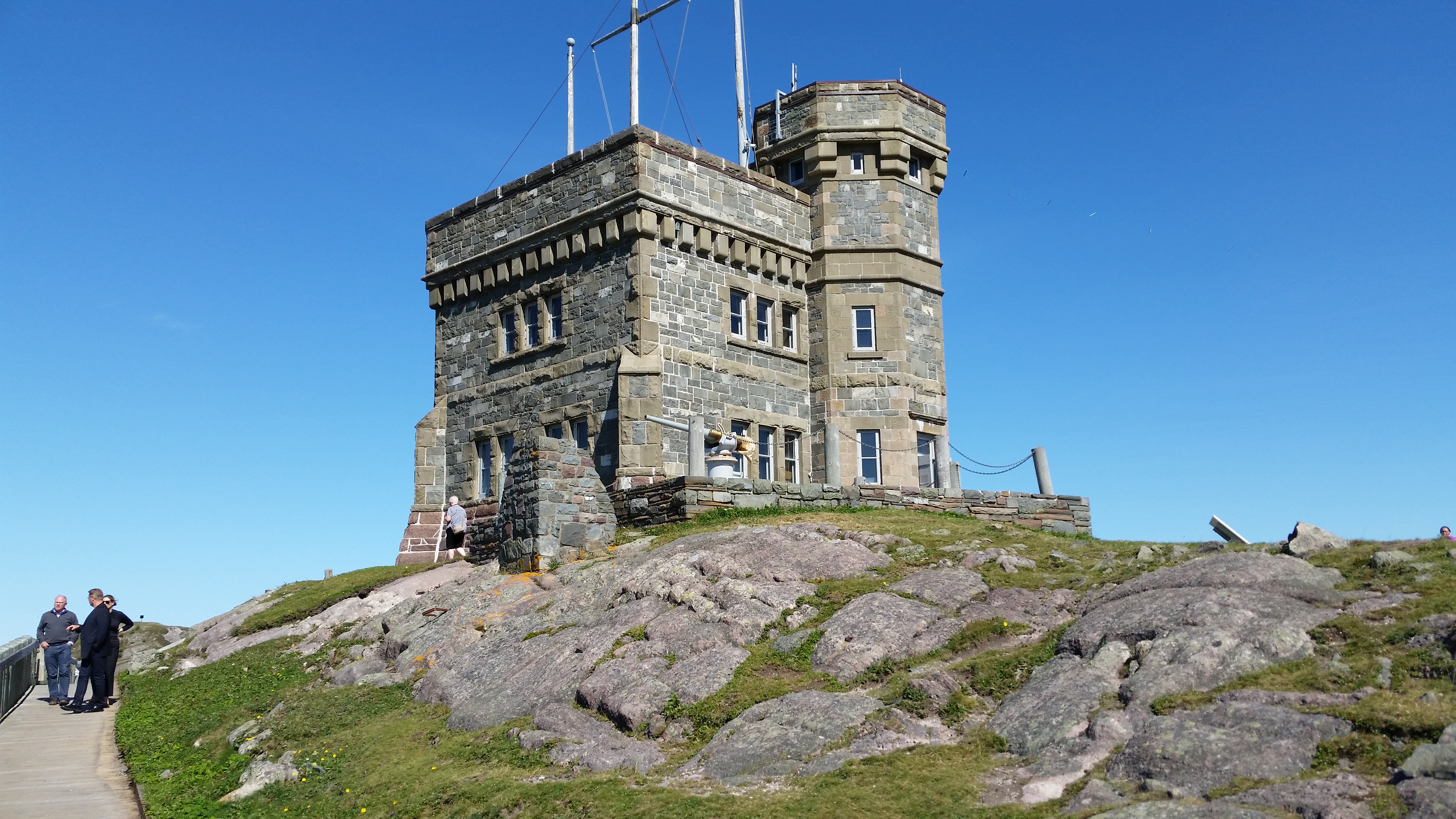
Don't miss this - it's a must see! This is the westernmost terminus for the original wireless communications from Europe.
It was originally a fort protecting the harbor, but it has become a big tourist attraction because of its
360 panoramic view of the St. John's harbor and the Atlantic ocean. This is where you will take some of your
best photos.
There is ample parking up at the tower but don't try to take your rig. There is a
Chocolate Shop located on the winding road up to the tower; they had great hot chocolate,
my favorite. They also have nice chololate gifts if you want to pick something up.
There is also a nice little gift shop located within the tower building.
It can be quite windy at the tower, so make sure anything you want to keep is tied down.
|
The Cabot Tower was built to commemorate the 400th anniversary of John Cabot's discovery of
Newfoundland. According to Wikipedia, in 1901 Marconi received the first trans-Atlantic wireless message
from the United Kingdom at a position close to the tower.
See here
for the Wiki discussion.
If you are into ham radio, there is an amateur radio station VO1AA which you can probably talk
the folks into using during summer hours.
Oh yeah. Admittance is free.
Johnson Geo Center
175 Signal Hill Rd, St. John's NL A1A-1B2
Ph: 709.737.7880
Website
|
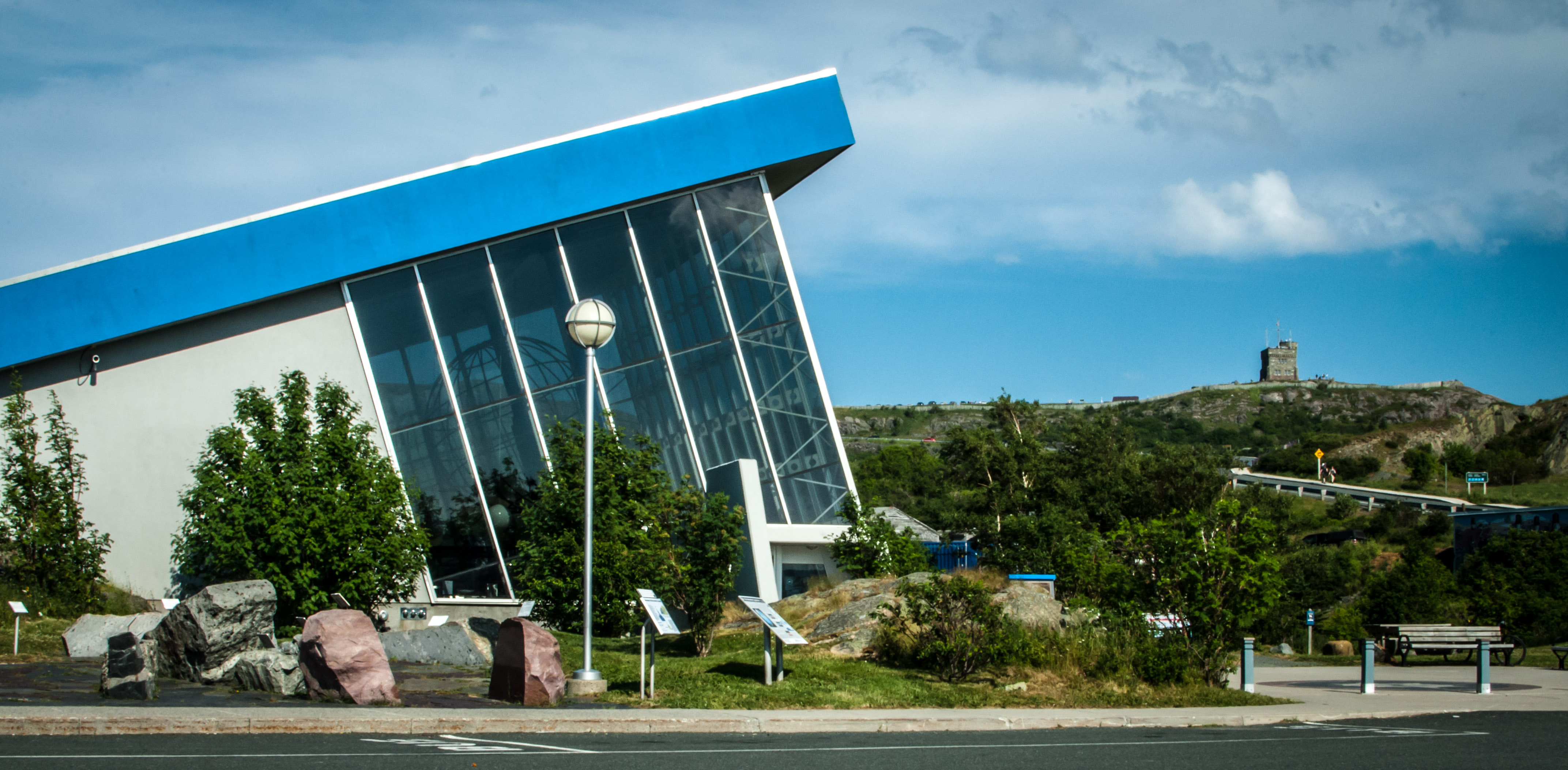
If you have an interest in rocks you'll love it here. If you want to learn about the creation of the Earth,
volcanoes, seismic plate tectonics and the creation of mountains, this is the place. Going back 4 billion years,
you will hear facts and see examples of each of the dynamic periods that played their parts in the formation of
the planet we now inhabit. There is also an exhibit on the role that oil and gas plays in our history.
Did you know that today's oil reserves were actually not created by huge dinosaurs? You might be surprised, as I was, to learn
that they were instead created by lots and lots of dead bacteria. Offshore oil, on the other hand, was mostly created
by plankton.
If you want to take in all of this, plan to be there several hours. Due to a vet appointment, we only had a couple
hours and did not get through half of what there was to see.
| |
| |
[click to enlarge]
|
|
Oh, be sure to find the Inukshuk displayed on top of a rock at the lower parking lot. To me it looks exactly like
what the original Inuits might have built. Note that one arm is longer than the other, which folks say was used as
an indication to tell other tribe members which way the group went. They also sell cute little Inukshuks inside in the gift shop.
See here for
TripAdvisor reviews.

|
|
Click here to see photos of the Johnson Geo Center.
|
Botanical Gardens
306 Mt Scio Rd, St. John's NL A1B-4L6
Ph: 709.864.8590
Website
|
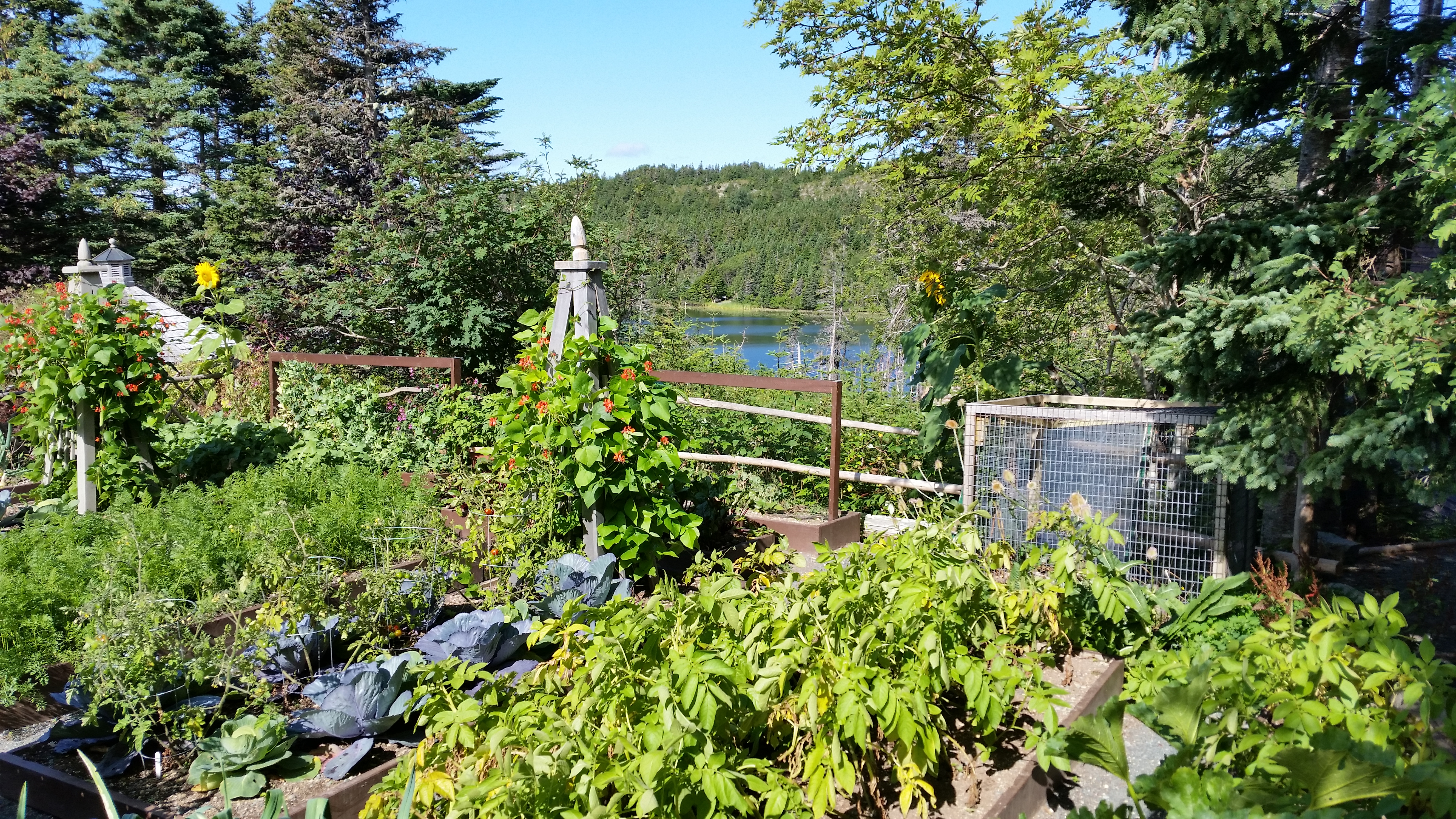
If you are into plants and flowers, the Memorial University of Newfoundland (MUN) Botanical Gardens are
a must-see while in the area. Located just up Allentown Rd from the Pippy Park campground, they have all kinds
of regional plants on display. Although we were there rather late in the season there were still lots of beautiful flowers in bloom.
BTW, don't get discouraged when you leave the office and step out into a small garden area. This is by no means the extent
of the offering. Follow the trail down to the "real" garden area where you can easily spend an hour or more walking around
and examining everything. And if that's not enough they have about a km of other trails leading down to a nice lake.
It is easy to lose yourself in the atmosphere and forget that you are still in the St. John's metro area. Call them
to check on the hours before you go, and don't forget to pick up a map of the grounds when you check in.
I think I remember that the admission was around 8 C$. They have a gift shop.
| |
| |
[click to enlarge]
|
|

|
|
Click here to see photos of the MUN Botanical Gardens.
|
The Irish Loop
| |
[click to enlarge]
|
| |
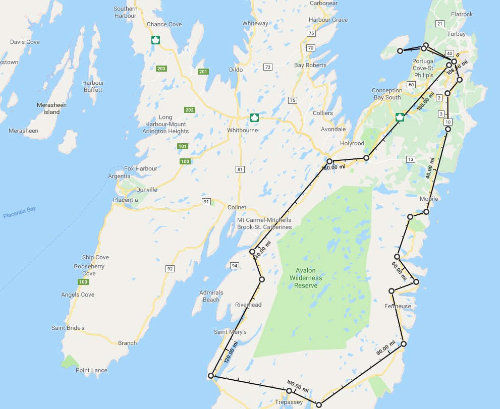
Considering how much hype we heard and read about the Irish Loop, we were frankly disappointed. After touring along
the western Newfoundland coast, going up the Northern Peninsula, and taking the northern route on the TCH to St. John's,
the overall offerings of the Loop do not in any way compare, at least in our opinion. I guess if you've just gotten off
the long ferry from Sydney NS to Argentia and this is your first look at the NL coastline, then it might be impressive.
But if it's your last trip after seeing what NL has to offer elsewhere, it pales in comparison.
I've seen books and articles that say the Loop is about a four hour trip. No freaking way! I guess if you blow past the
speed limits all the way and never stop to look at anything, you might be able to do it. But then what's the point?
In order to get the full effect of the trip you have to venture down little side roads and stop at lookouts
|
The road from St. John's down the eastern part of the Loop is pretty good.
Take route 2 to route 10 south. Toward the southeast part it starts to get
bad, and then gets even worse until you are a ways up the western part. But then, hey, it's Canada.
Driving in a clockwise direction, the first scenic point you come to is Bay Bulls. Take the side road down to the pier
where you will see some boats and get a nice view of the harbor and ocean. But what slayed us was the huge reels of
cable and rope, and the humongous chains laying on the ground. There wasn't anyone around to tell us what these
items were meant for but it certainly teases the brain to think of how they might be used. If you find out,
please
let me know.
There is also Gatherall's Puffin and Whale Watch in Bay Bulls. Last we heard it was around 52 C$
and is rumored to be a good tour.
A little further down is Witless Bay, a name that simply begs for an explanation. Unfortunately, I have none.
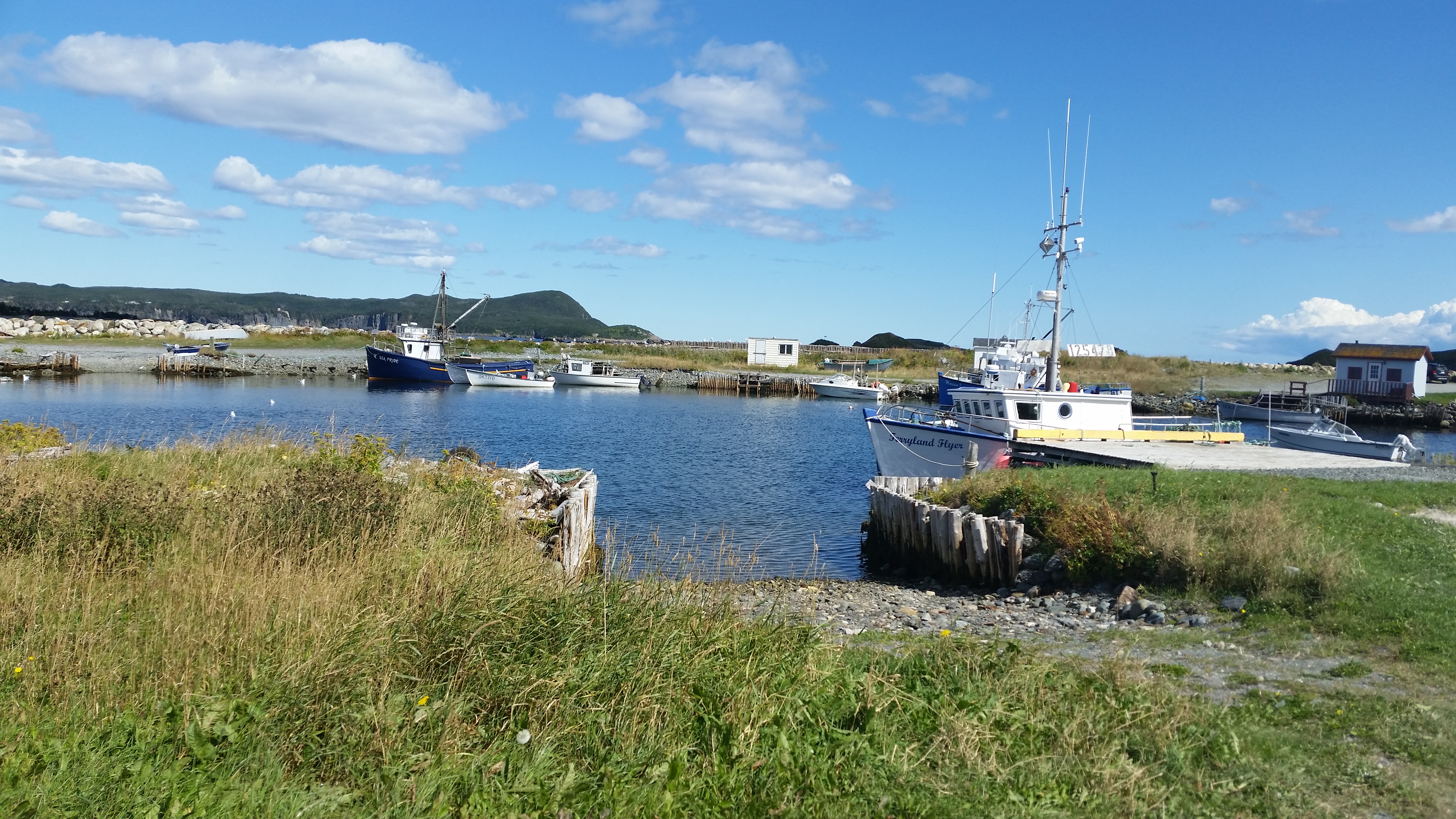
Ferryland was the high point of the Loop for us. There is a paved road down toward the water, which soon turns to
gravel and then leads up to the lighthouse on the hill. If you are a squeamish driver don't try to take this road.
It is narrow, about a car's width, with few places to pass another vehicle coming in the opposite direction.
However, if you do make it up you will be rewarded with a spectacular 360 panorama of the surroundings. You can't
drive all the way up to the lighthouse, but there is a parking area where you can get an escorted ride up for 10 C$
per person. Due to time restraints we didn't take advantage of it, and the view at
the parking area is likely about as good.
Down at the bottom of the road is a gift shop, museum and visitor center. There is also an archaeological site there
known as "The Dig".
On the way to Bear Cove there is a windmill farm up in the hills. I think I counted around a dozen of them.
Bear Cove is small, Portugal Cove South has no harbor, and Trepassy is nondescript. None of these areas are particularly
good photo ops.
On the drive back along the western leg, the road gets better as you go. A large part of the drive is little more than
rocks and windswept plains, and there aren't any scenic little towns but the views of the inlet and other water bodies
yield more interest.
We didn't stop at St. Bride's but there is the highly rated Cape St. Mary's Ecological Reserve on Bears Cove Road.
At the right time of the year there should be thousands of Gannets to see roosting on the rocks.
If we had to do it again we would go as far as Ferryland and take the road up to the lighthouse,
and then return the way
we came. It will make for a much shorter trip, and you will avoid most of the bad road. And if you do a lot of stopping
and photo taking, you probably really can make the trip in four hours or less!
Note that you can also get to Bay Bulls from the TCH by taking route 13 from St. John's. This would be a lot faster if time is a problem.
For more info on the Irish Loop use the Google.
Bell Island
| |
[click to enlarge]
|
| |
Take route 40 from the TCH up to Portugal Cove. It's not far, only a few km.
Portugal Cove itself is not particularly memorable, but your objective will be to take the ferry over to Bell Island.
It's a short ferry ride to the island but you will get a chance to see some nice scenery.
At least one of the ferry's has a snack bar on board.
While we were waiting in line a lady who was also waiting told us that the little restaurant
down next to ferry has good fish and chips. It didn't look that great from the outside, but I've learned to
generally give deference to the locals. So we gave it a try. Son of a gun! I do believe they had
the second best cod we've found in NL. The
Daily Catch restaurant up in the Northern Peninsula was of course
the best.
|
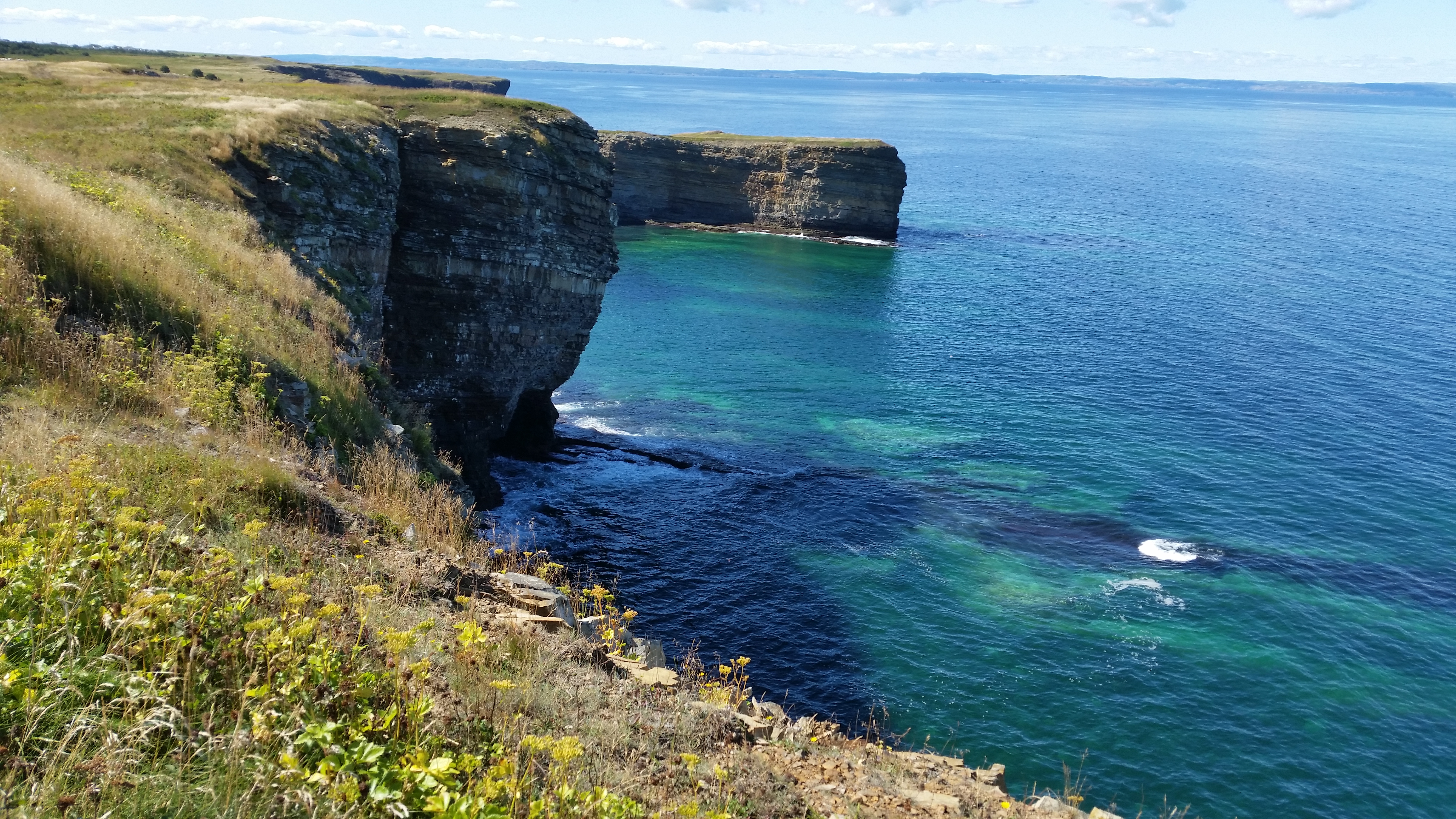
There are two things you need to see and do while there. The first is to go to the little lighthouse situated out
on the cliffs. From the main road, turn right onto Quigly Road and then take another right onto Lighthouse Road at the sign
to the Keepers Restaurant. Watch out for lazy dogs and cats in the road.
The restaurant may or may not be open, depending on when in the season you are there. But that's not why you go.
From the lower parking area, walk down the path leading out onto the cliffs. Don't get too near the edges as they are in
a continuous mode of crumbling. But you should be able to get close enough [2 or 3 feet or so] to see the beautiful cliff
sides and churning waters below. Standing there also provides a wonderful 360 panorama movie opportunity.
The other interesting thing to do is come back to the main road and continue down to the
Mine Museum and Underground Tour
at Compressor Hill. This is an underground tour of an old iron mine. It is quite
interesting for history buffs and curiosity seekers alike.
Even if you have a touch of claustrophobia, you probably shouldn't worry too much.
The passages are wide, not like being in an actual
cave. Take a sweater or jacket as the temp is a chilly 6 C. They have a neat museum upstairs with a lot of old mining
apparatus and other period pieces. There is also a small cafe where you can nosh before or after the tour. Say hello
to our female guide Bernie and tell her we mentioned her in our blog. She might remember me as the guy from Florida
who wore shorts and tee shirt [6 C, remember?].
Here is information on the various ferrys in eastern Newfoundland, including the one
to Bell Island.

|
|
Click here to see photos of the Bell Island ferry.
Click here to see photos at the Bell Island lighthouse.
Click here to see photos of the Bell Island Iron Mine.
|
Back to the big ferry
Because of our dogs, we weren't able to take the long ferry from Argentia to Nova Scotia.
We simply couldn't put them in kennels for 18 or 20 hours, nor eastern, northern and western parts of
the island. But we really didn't mind since it gave us one last opportunity to visit a few
more of the little fishing villages we have come to love, and to soak up the beauty of
that which is Newfoundland.
 Go back to the previous leg of the journey
Continue on to the next leg of the journey
