|
Although technically a part of Nova Scotia, the Cape is an island all to itself, both literally
and figuratively. It is separated from the lower part of Nova Scotia by the Strait of Canso,
and the two are accessible by road only via the Canso Causeway [highway 104 between Aulds Cove
and Port Hastings].
We got to the Cape from Halifax/Dartmouth by taking the 102 northwest and catching
the TCH [104] at Truro. We then headed east thru New Glasgow to Aulds Cove, where the TCH
crosses the water over to Cape Breton on the Canso Causeway at Port Hastings. Continuing on the TCH takes you
up to Baddeck and the Bras d'Or Lakes campground.
Cape Breton seems to operate on island time. Many of the little cottage
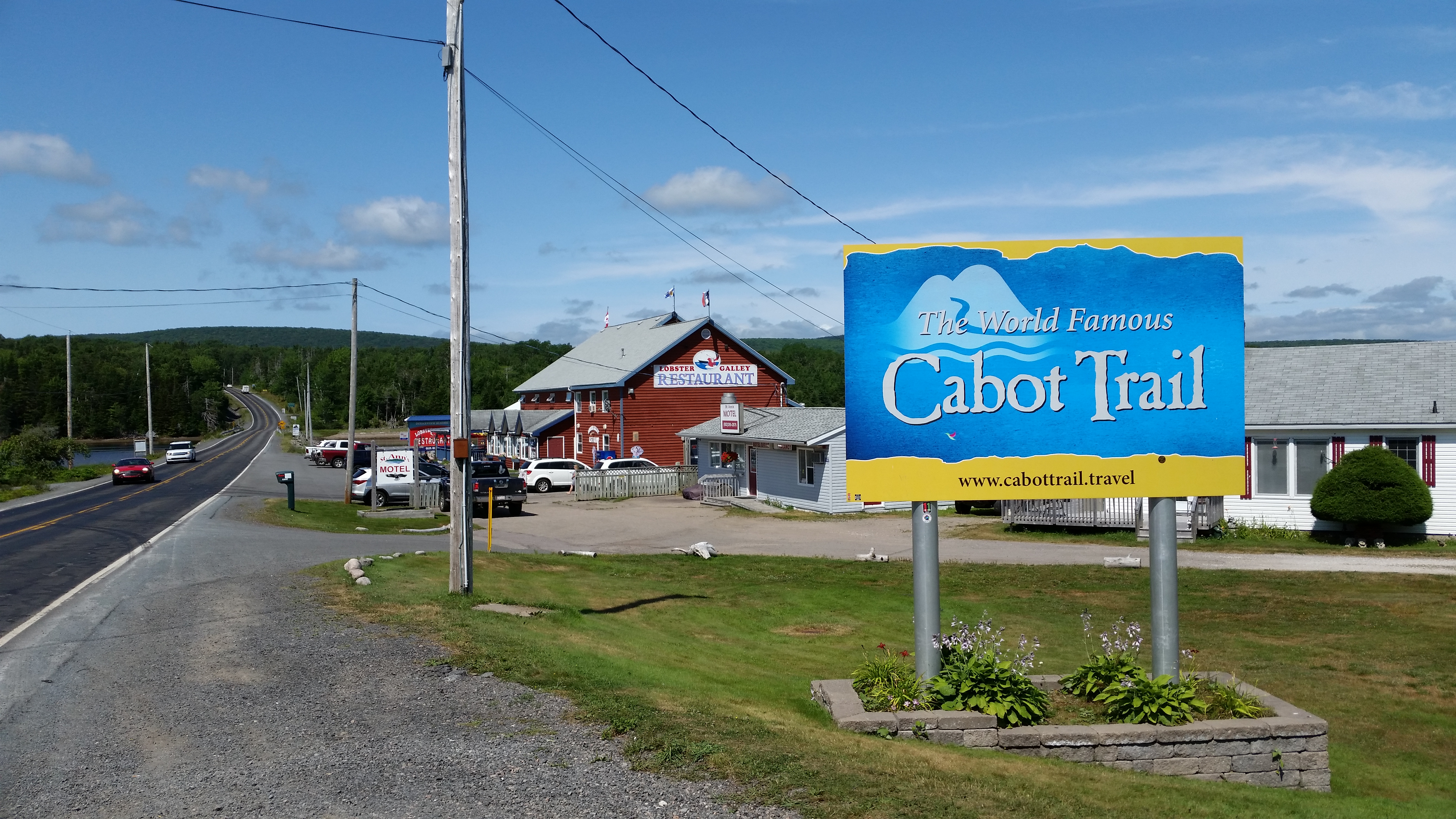
business we passed on the Cabot Trail either weren't open, or there wasn't anyone around. It is common for businesses
to close on Mondays. So if you need anything, don't count on running down to the corner store.
There are three types of people on the island: permanent residents, seasonal residents and tourists. You can tell the
permanent people - they're the ones with 4 or 5 cords of firewood stacked outside. By contrast, seasonal folks will
either have no wood, or maybe a little for the occasional obligatory fire during chilly times of their stay. Tourists
generally stay in cabins, B & B's, motels, hostels, tents or RVs.
Around the island you might see houses or buildings with a lot of lobster traps outside and may be wondering why so many.
We were told that lobster fisherman have a legal quota of about 400 traps, and during non-trapping season they pull up
their traps and stack them for use next season. Lobster season on the Cape varies by location;
here is a map you can consult if it is imperative that you get some lob during your stay.
If you don't have time to read everything, here are links to the main highlights of this portion of the trip.
| |
| |
[click to enlarge]
| | |
| |
[click to enlarge]
|
|
The Cabot Trail
Website
|
Cape Breton wouldn't be Cape Breton without the Cabot Trail. This is why people come.
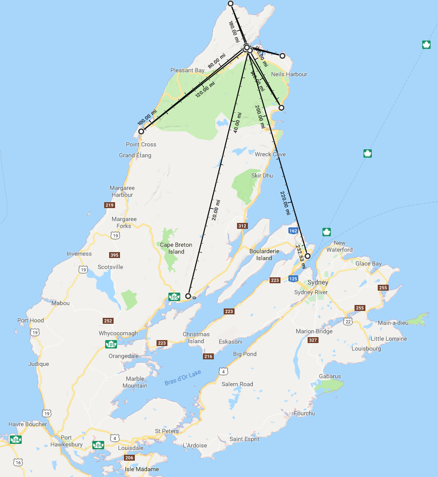
The Trail is a 185 mile (297 km) loop around most of Cape Breton. It goes up and down
many hills and mountains, passes through the Highlands National Park, and skirts
the seashore in enough places to wear out your camera. The majority of Cape Breton
is either on or within the Trail. The portion of the island that lies to the east
of Bras d'Or Lake does not. Sydney and points east are obvious examples of
communities that do not depend on Trail tourism.
The Trail is named after the explorer John Cabot who landed in Atlantic Canada in 1497,
although most
historians agree his landfall likely took place in Newfoundland and not Cape Breton Island.
See here for a discussion on Wikipedia.
There are three entrances onto the trail from the southern part of the island.
I personally recommend (2) for the best views.
(1) You can get off route 105 (the TCH) at exit 7 close to Hunters Mountain. This exit
is a little southwest of Baddeck and the Bras d'Or Lakes campground.
The road eventually ends at route 19, also known as the Ceilidh Trail. You then
head northwest up toward Middle River
and Margaree Forks, and eventually on up to Cheticamp and the Cape Breton Highlands National
Park of Canada. If you continue on northward you will eventually get up to the northern tip
of the Cape where there are some beautiful places to see, many of which I will discuss a
little later in this segment. I can't speak for the southern part of this part of the Trail,
but we found the road on the northern part to be much worse than the eastern portion.
Here is a writeup about the western side of the trail.
(2) Going northeast up from the Bras d'Or Lakes campground on the 105, take exit 11
westward
past the St. Ann's Motel toward North River Bridge. I didn't see a route number at
exit 11. On this route you will be driving next
to St. Anns Bay, an inlet of the Atlantic. St. Ann's Motel is seems to be highly rated
on the web, and provide a convenient place to stop if you need to.
Please be aware that there are no fuel stations for the next 50 km
on this part of the Trail
(3) If you go on north on the TCH past exit 11, exit 12 also provides access to the Trail.
This is route 312 taking you past the Englishtown ferry, which was closed while we were
there. If it's running it might be a neat ride over to the Trail. Route 312 then
picks up the Trail at St. Ann's Bay Church.
| |

| |
[click to enlarge]
|
| |
[click to enlarge]
|

| |
[click to enlarge]
|
|
All in all, we took four different forays up and down the Trail.
While at the Bras d'Or campground we took a day trip up the eastern
portion of the Trail, starting at St. Ann's Bay, and drove up to Wreck Cove.
When we eventually made it up to the Hideaway campground at Dingwall (see below)
we took day trips down both the eastern and western portions of the Trail, on two
separate days of course. I describe these interesting and beautiful trips below.
Finally, we took the eastern Trail back down to the TCH and then over to North Sydney
and the big ferry to Newfoundland.
A word of advice: I suggest that unless you are travelling to another campground, you leave your rig
behind. There are few places to pull a rig off the road, and as a consequence you will miss
some amazing photo ops along the way. The Trail is amenable to taking a day drive up either
the east or west side and then coming back to the campground. We actually toured north up
the east side from the campground at Baddeck, then toured down the west and east sides from the
campground at Dingwall. This let us separate towing from sightseeing, which turned out
to be a wise idea.

|
|
|
Click here to see some general photos on the Cabot Trail.
|
|
xxxxxxxxxx [84807] 11:00 am -
[86456 - ---]
Bras d'Or Lakes Campground
8885 Trans-Canada Hwy, Baddeck NS B0E-1B0
Ph: 902.295.2329
Website
6 August @ 3 nights, 49 C$ / night [44.10 C$ Good Sam]
| |
[click to enlarge]
|
| |
It took around 30-40 minutes to get to the Bras d'Or Lakes campground after we got off the ferry.
Bras d'Or means "arm of gold" in French.
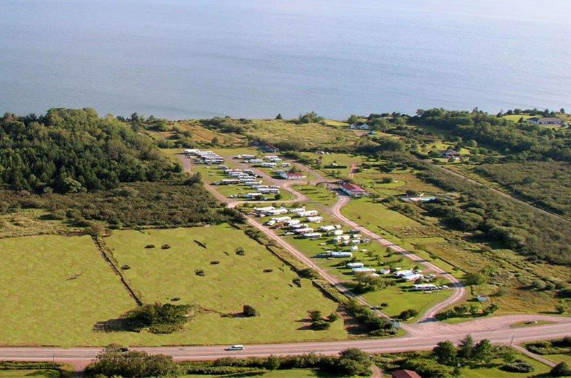
This is a pleasant campground situated on Bras d'Or Lake, close to the
town of Baddeck as well as the Cabot Trail. It isn't large, and most of
the rigs seem to be transients. They say they have 93 RV and tent sites,
as well as a few cabins.
All sites are pull-thru with water, electric, sewer and a firepit.
No cable, which seems to be the theme throughout the Maritimes.
Hookups vary between 15A, 30A and 50A depending on the site.
There is a laundromat, a pool and a fenced-in dog run area.
There is wi-fi but it is spotty in the far areas, as our site was.
We camped in site # 55 which was at the rear of the campground.
The site was a bit unlevel but it didn't bother us much.
I didn't like the fact that the sewer was about 20 feet away from the
water & elec connections.
|
The office had ice and a few small items, along with some very basic RV supplies.
There is a nice common area with a short walk down to the lake, which presents a
beautiful panoramic view where you can swim, canoe or fish.
There is no dump station. Because I couldn't get the sewer cap unscrewed when we
pulled out. I had to pull into an unoccupied site in order to dump.
I didn't want to bother the office about it because I was all ready to leave.
There are a few other campgrounds in the Baddeck area that you might want to look into.
We did have an issue with our kitchen slideout. One of the cables broke so it couldn't be
pulled in. It was too heavy for me to push in myself, so I wound up backing the truck up
and pushing it in that way. I used a couple of the couch cushions to keep the truck from
denting the wall and that worked well. Another helpful hint to remember if you should
find yourself in a similar situation. ☺

|
|
|
Click here to see photos of the Bras d'Or Lakes campground.
|
|
Bras d'Or Lake
|
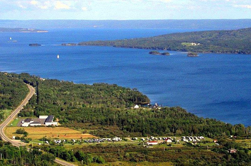
Bras d'Or Lake is a great deal larger than you can see from the road.
Not huge like Lake Okeechobee or Lake Ponchatrain, just big.
Use Google Maps or Google Earth to appreciate just how big it is.
Although the locals refer to this body of water as Bras d'Or Lakes, it is
geographically only a single lake.
According to Wikipedia: Canadian author and yachtsman Silver Donald Cameron describes Bras d'Or Lake as "A basin ringed
by indigo hills laced with marble. Islands within a sea inside an island." The lake is connected to the North Atlantic by
natural channels, the Great Bras d'Or Channel north of Boularderie Island, and the Little Bras d'Or Channel to south of
Boularderie Island connect the northeastern arm of the lake to the Cabot Strait. The Bras d'Or is also connected the
Atlantic Ocean via the Strait of Canso by means of a lock canal completed in 1869 - the St. Peters Canal, at the southern tip of the lake.
| |
| |
[click to enlarge]
|
|
Baddeck
| |
[click to enlarge]
|
| |
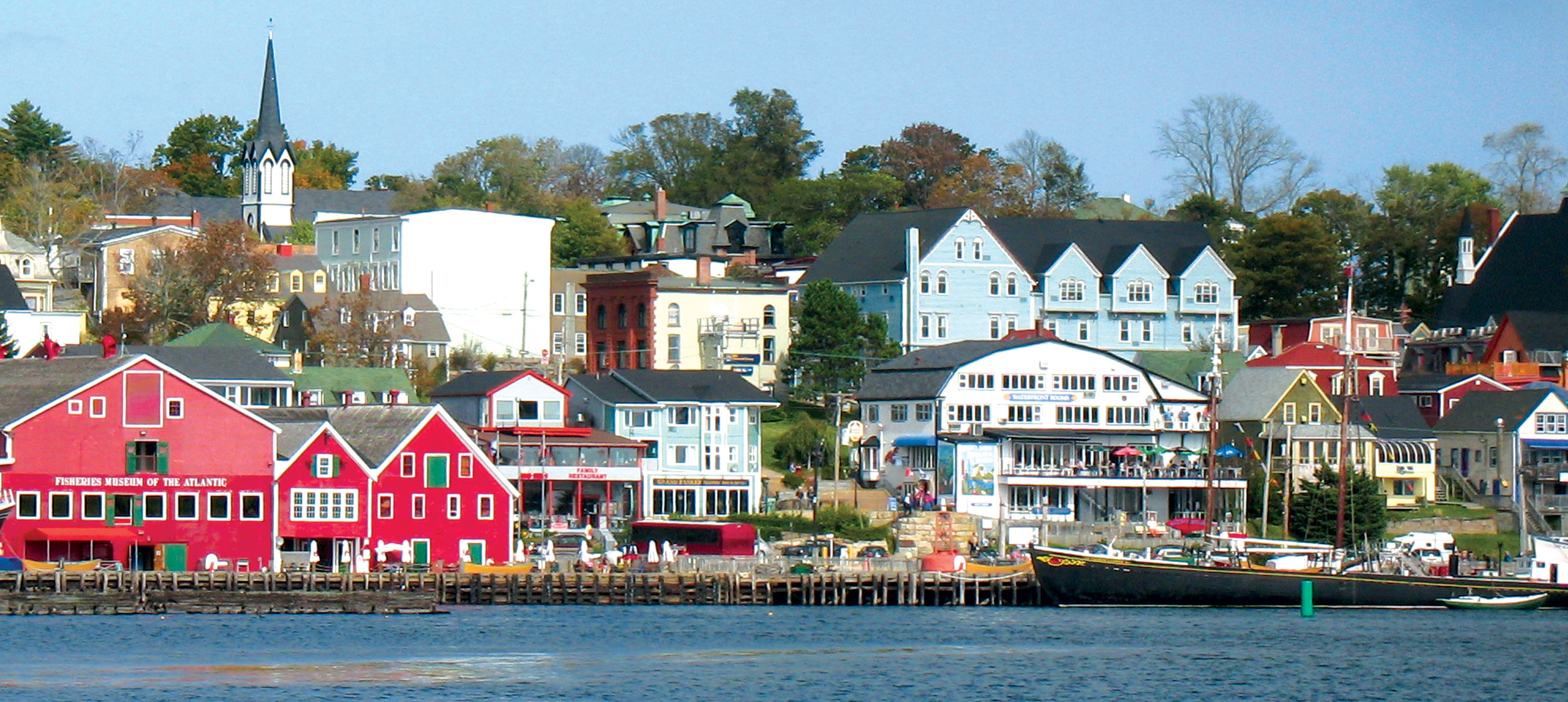
The town of Baddeck is on the 205 spur which parallels the 105 for a few kilometers.
The town has a nice marina, populated with numerous pretty looking boats. The marina is part
of the Bras d'Or Yacht Club and has a couple food stands, but we didn't try them, electing
instead to eat at the
Bell Bouy restaurant which sits right on the marina. Phyllis had the seafood alfredo which she
said was good. My lobster sandwich was so-so. The strawberry rhubarb crumble pie and ice cream
dessert were much better. The bill total was 84.57 C$. There are several other restaurants of
various types in and around town.
There is a hardware store in town, and an Irving station that has diesel, just outside of town on the 105.
The 205 spur is a nice scenic drive along the lake.
|
Interestingly enough, it turns out that this little town in Nova Scotia happens to be the
"Birthplace of Canadian Aviation." In 1909 Douglas McCurdy flew the Silver Dart airplane
designed by himself, Alexander Bell, Fredrick Baldwin, Thomas Selfridge and Glenn Curtiss.
Cool, huh? Unfortunately, we didn't discover the
Alexander Graham Bell National Historic Site until it was too late. What a shame.
Hideaway Campground and Oyster Market
401 Shore Rd, South Harbor NS B0C1G0 [close to Dingwall]
Ph: 902.383.2116
9 August @ 6 nights
Website
45 C$ / night
|
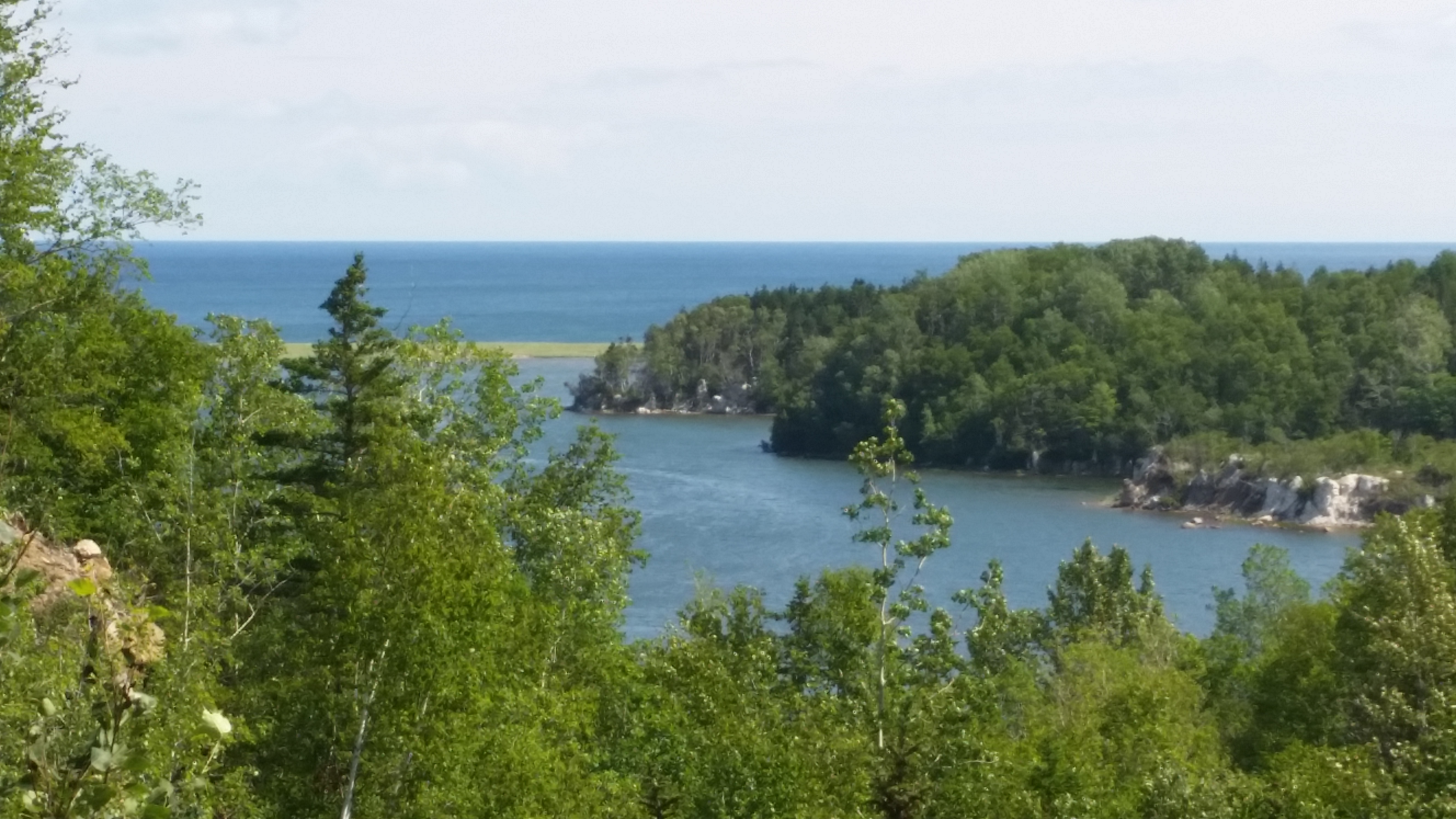
This is a rather nice, clean facility with lots of sites. It seems to be about an even mixture of seasonals and transients.
The campground has lots of green space,
and there is a nice view of the ocean. There are a few picnic tables where you can sit and
look at the water, if there is no one
at the tenting sites, of course. But even then I doubt if they would mind you taking a look.
Our site was #49. It was an easy back-in and rather spacious. The site was quite level, which was unexpected considering
the rolling hills nature of the campground in general. Our site was almost at the back end
of the grounds.
There was 30 amp, water and sewer, but no cable or wi-fi. There were several cabins that
seemed to be in frequent use.
| |
| |
[click to enlarge]
|
|
There are showers, and the camp office sells oysters. We didn't buy any so I cannot attest
to their quality.
Our rooftop DTV didn't work because the one tall tree in the area was behind our trailer,
or course. But that's ok, we need some weaning anyway since we would soon be going up to
Newfoundland.
Note: If you are camping in a tent or small trailer, sites 31-38 all have beautiful views of
the ocean. There are no hookups, however.
If you can, plan to spend a lot of time up here on the north part of Cape Breton. We had
six nights and it just wasn't enough. By the time you experience both sides of the Trail
and poke your nose into the little towns and fishing villages, you can easily eat up a
week or more.
The highway on the north part of the CT is good. They are currently repaving a lot of it,
so some stretches are under construction, at least they were when we were there.

|
|
|
Click here to see photos of the Hideaway campground.
|
|
White Point and Neils Harbour
| |
[click to enlarge]
|
| |
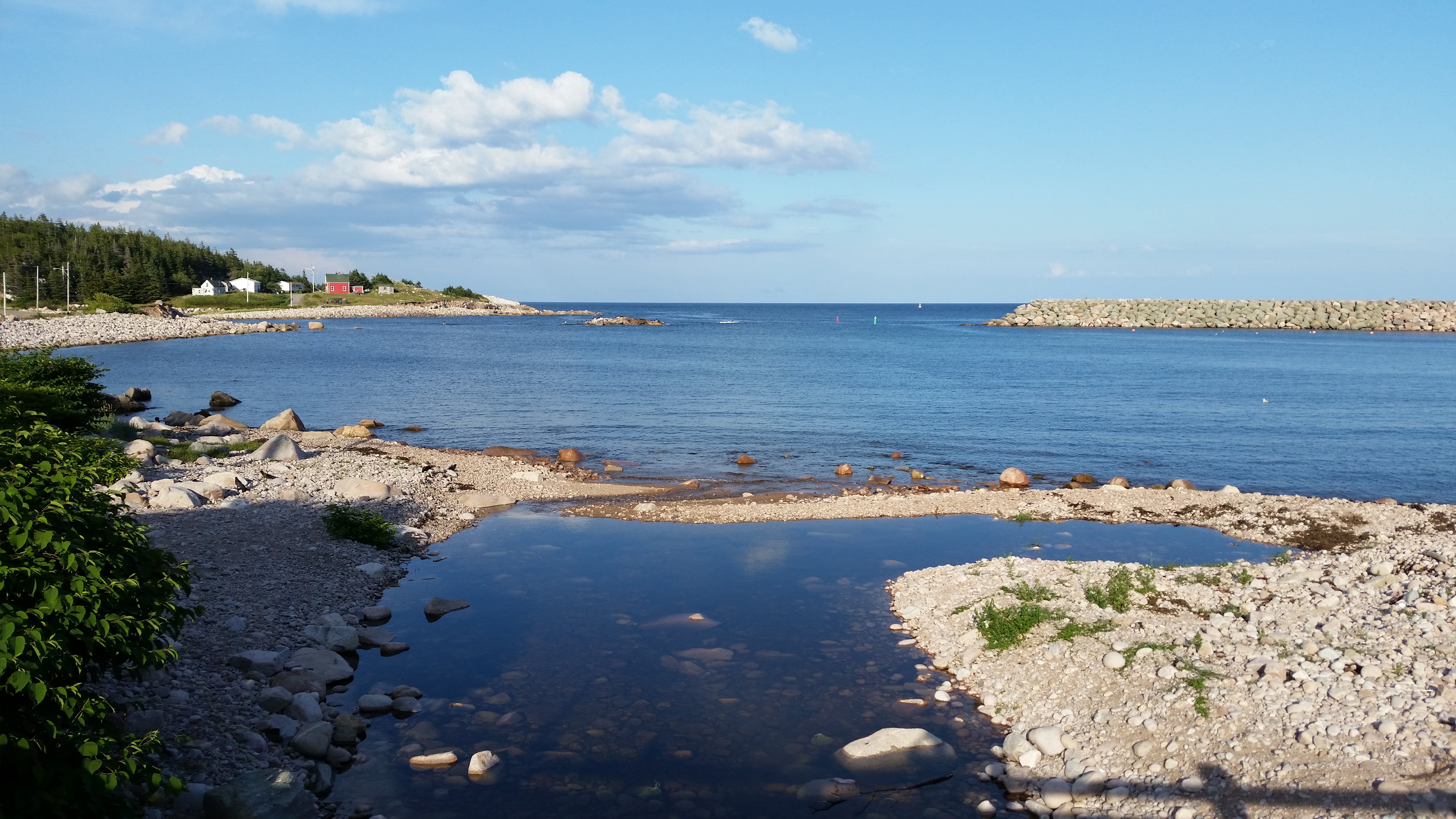
This is a really, really nice scenic drive. Exit the campground and take a right onto
Shore Road and follow it to the Cabot Trail. Take a
left at the Trail and you will go by Danena's Bakery and Bistro on the left,
a few kilometers up the road. If you have Scotish in
your blood, visit the Tartans and Treasures shop located just before the bakery.
Continuing past the bakery, the White Point Road is also on the left. It makes a loop from
the Cabot Trail up to White Point,
then down to Neil's Harbor, then back to the Trail. You don't want to miss
this drive! It's a little boring
until you get to the White Point area, then the views from there all the way
down to Niel's Harbor are simply fantastic! Along the way,
stop at the Chowder House restaurant next to the lighthouse in Niel's Harbor. The lobster
sandwiches are to die for, and you
can get ice cream at the lighthouse next door.
Behind the restaurant some amazing photos of the water breaking on the rocks are to be had.
|

|
|
|
Click here to see photos of White Point and Neils Harbour on the Cabot Trail.
|
|
Dingwall
|
If instead of turning left from Shore Road onto the Trail, turn right and go
past a gas station that sells diesel. Further down on the left is
the VFD that hosts a farmers market on Saturdays. Also further down on the left is a
little grocery market that has a
surprising amount of stuff considering the ruralness of the area. Across the road
from the market is Angie's Restaurant.
Next to the gas station mentioned above, take a right onto Dingwall Road which
leads up to the little town of Dingwall. There's not a whole lot to see at Dingwall but the
drive is pretty. Look for the guy that sells homemade charcoal on the right side of
the road.
| |
| |
[click to enlarge]
|
|
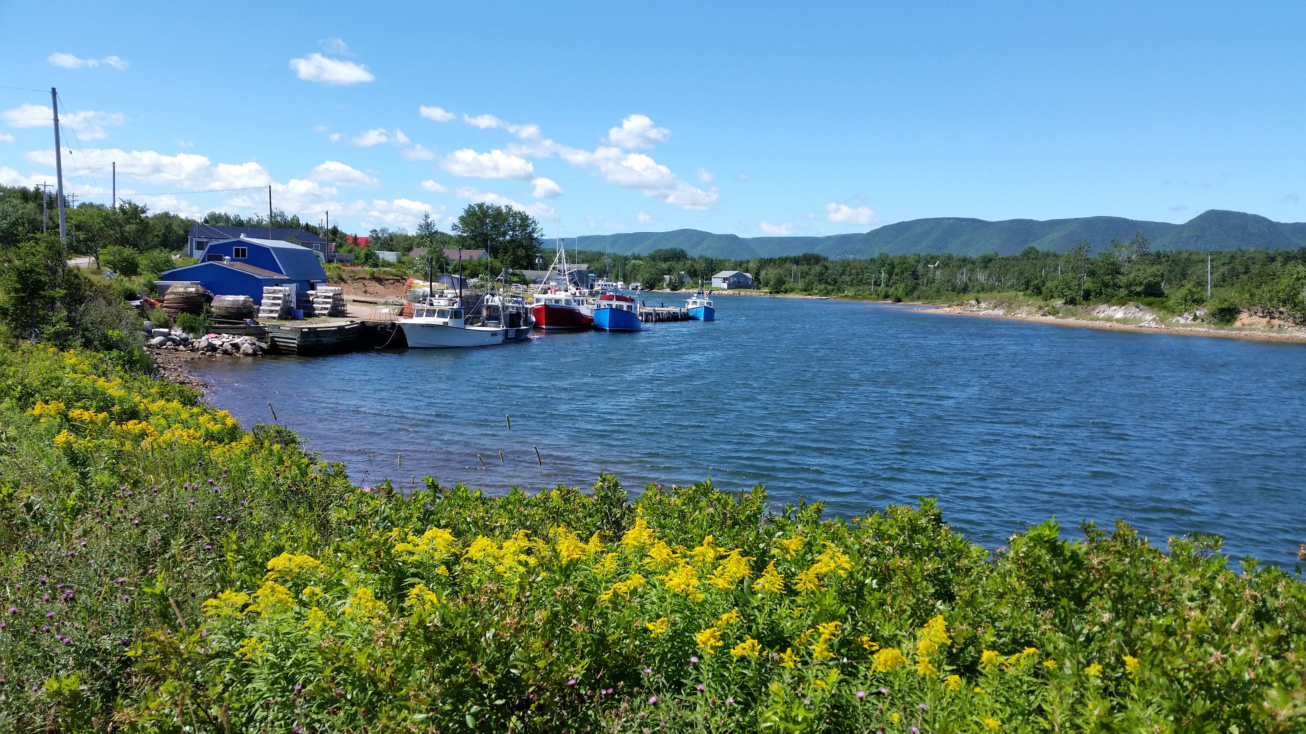
Dingwall is a small coastal fishing community nestled between the Cabot Trail and the Atlantic.
The St. Paul Island lighthouse museum is one of the tourist attractions.
Dingwall Beach is reportedly a gorgeous place to visit and see cormorants and seagulls,
look for fossils, and maybe even pick up a lobster or two from an incoming harbour boat.
The road south of Dingwall was pretty rough, and there was construction. There was a
really big climb but I forgot to write down exactly where it was.

|
|
|
Click here to see photos of Dingwall on the Cabot Trail.
|
|
Meat Cove
| |
[click to enlarge]
|
| |
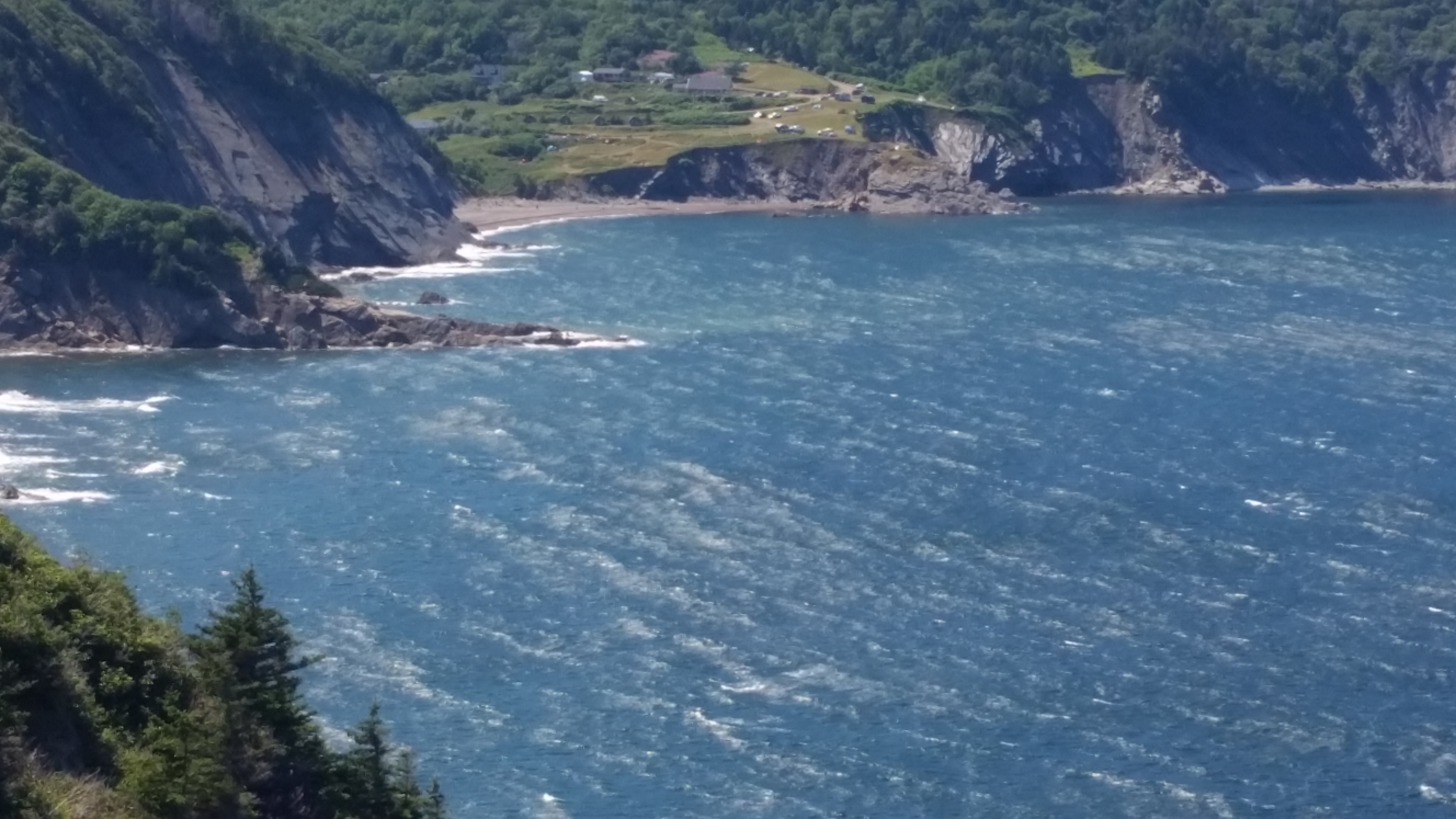
Further west on the Trail, a ways past the Dingwall exit, Bay St. Lawrence Road leads
up to Meat Cove, the northernmost part of the
island. Go through Cape North and continue thru Sugarloaf.
Along the way, stop at the Cabots Landing Provincial Park on the right for an impressive view.
At Bay Road Valley, the right fork will take you up to Bay St. Lawrence, which has a
little harbor and marina with a small
seafood shack called The Chowder Hut. The left fork takes you up to Meat Cove; and the drive is
almost as pretty as the drive from
Niel's Harbor to White Point - almost. The last 8 km are mostly unimproved road, but
the views are spectacular. There is a good seafood restaurant at the top of Meat Cove.
|
Don't try to take your rig up to Meat Cove - you won't like it! As mentioned, the last 8 km are rough road, and there isn't
much in the way of turnaround areas. There is a small camping area at the top, but it's mostly for tents. We did see a
couple very small trailers there, but I still don't recommend it.
If you ride, here is a link to a
biker's tour up to Meat Cove as well as other interesting places in the Maritimes.
There are some nice photos on his site; check it out. Go to 'Moto | Canada | 2012 Beards in Canada'
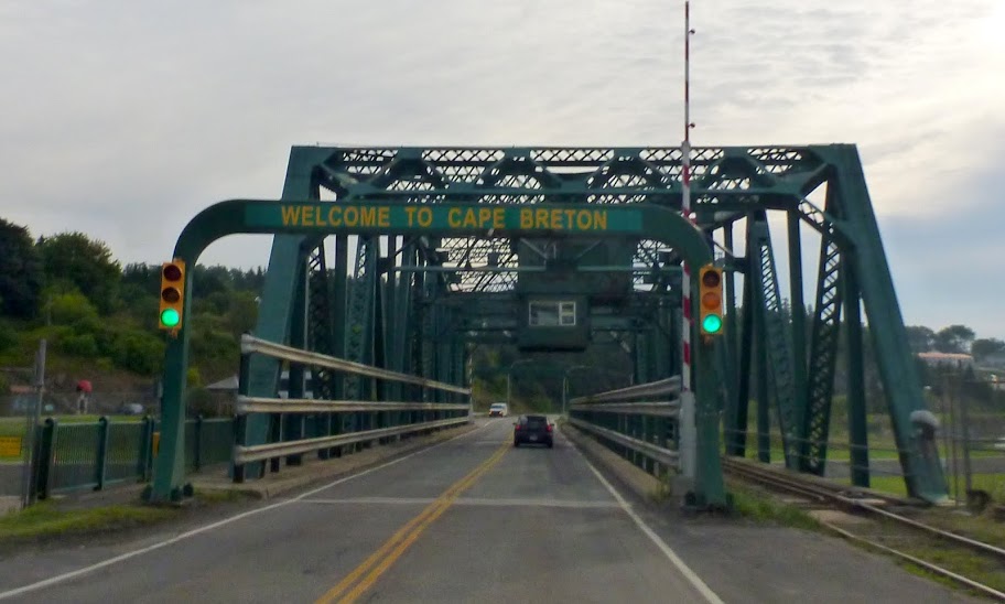
and look around. I lifted the photo of the causeway bridge
at the top of this page from his site. I hope you don't mind, Mike.

|
|
Click here to see photos of Meat Cove on the Cabot Trail.
Click here to see photos of Bay St. Lawrence.
Click here to see photos of the Cabot Landing Picnic Park.
|
|
The Trail to Ingonish
|
The next day after visiting White Point, Neils Harbour and Meat Cove, we took a day
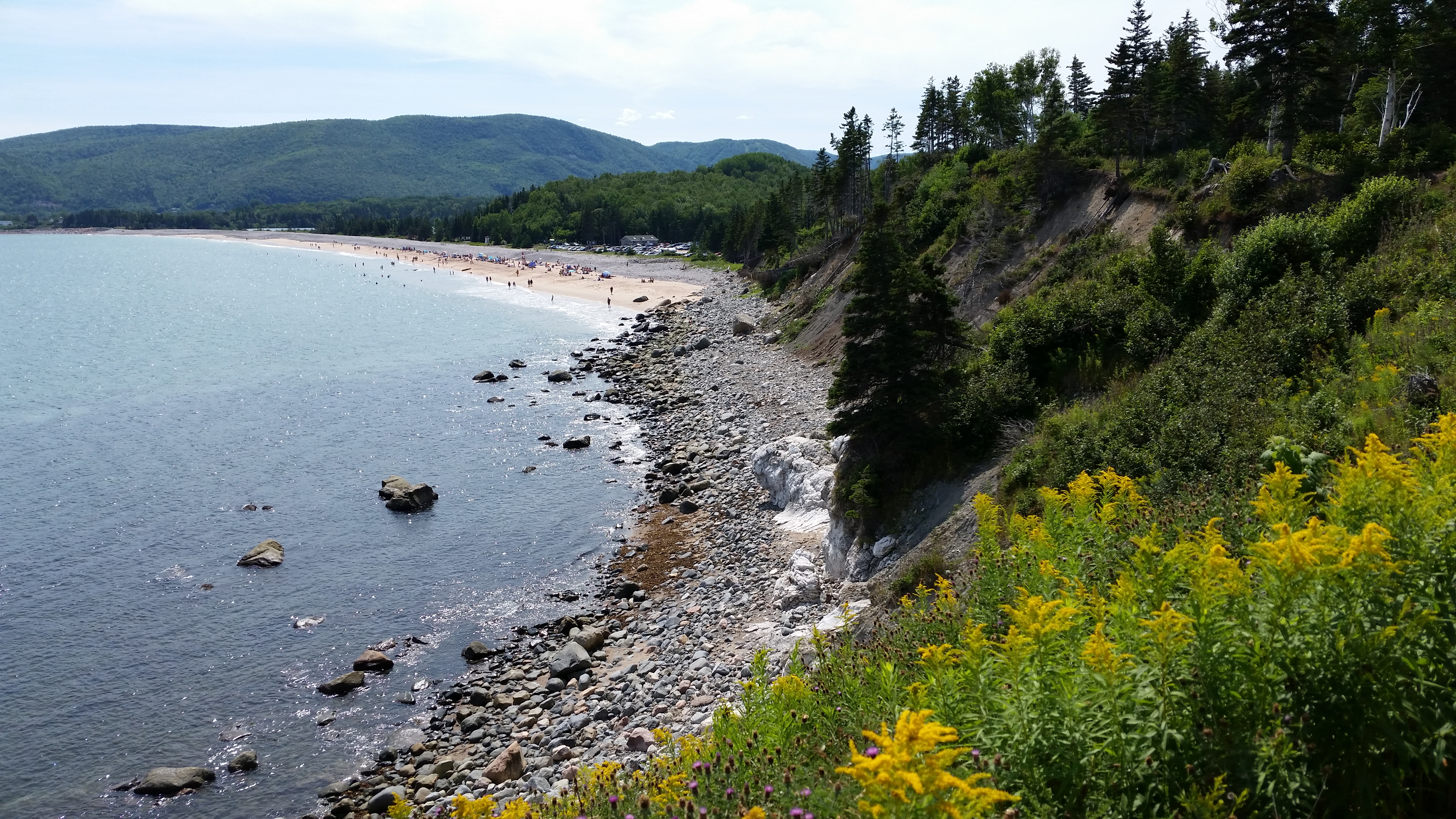
drive down to the Ingonish area. The section of the Cabot Trail from Neil's Landing down
to Ingonish Beach is a very scenic drive, and the road is good.
Of course, it's not as scenic as the trip to White Point or Meat Cove,
but it's still pretty good.
Be sure to stop at the
Seagull Restaurant for a lobster club sandwich. The milkshakes are good too. There is also a
well-stocked grocery
store on the way. As with a lot of Nova Scotia in general and Cape Breton in particular,
don't be afraid to investigate
the many side roads which can offer surprise views that you might not get to see anywhere else.
Highlands National Park is very large, and you will go through it on both
the western (Cheticamp) and eastern (Ingonish) portions of the Trail. There is a pull-off area where you pay to get in
[$8, seniors $7]. One of the park attendants told us you have to pay the fee to travel the short distance on the Trail
that was inside the park, but in retrospect this doesn't make sense, especially since traffic coming the other direction
doesn't have to pay anything. She may have misunderstood the question.
| |
| |
[click to enlarge]
|
|
Scenic Franey Mountain offers some challenging but beautiful hiking trails with wonderful
views at the top. Being a backpacker for many years, I wish I had had time to make the hike.
It would have taken several hours, not taking photo stops into account, and I couldn't leave
the wife and dogs in the truck for that long (or could I?) ☺
South of Ingonish is an impressive resort called the Keltic Lodge. It is
located in the Cape Breton Highlands Nat'l Park and sits on the Atlantic. There are
about 100 rooms as well as some cottages. It's worth a drive through even if you don't
stay there, and we discovered it has an upscale beauty spa.
South of the Keltic Lodge is Ingonish Landing,
which has a dock area where RVs can boondock for $25 a night for a max of 2 nights.
There are some 110 v. receptacles
on the pier but I don't know if you are allowed to use them.
We made a quick stop at Knotty Pine Cottages for ice cream.
The view off their back porch is well worth the stop!
South of the Landing is the Cape Smokey Provincial Park.
This is a popular rest stop, and has a birding and hiking trail.
If you're pulling a big rig along the southern leg of the Trail, be aware that the area around
Cape Smoky has a long, steep hill.
South of Cape Smokey is Wreck Cove which was the northernmost terminus of our
earlier drive up from the Bras d'Or campground. We didn't investigate this
area but instead turned around and headed back up to the campground.

|
|
Click here to see photos of Ingonish on the Cabot Trail.
Click here to see photos of the Keltic Lodge at Ingonish.
|
|
The Trail to Cheticamp
| |
[click to enlarge]
|
| |
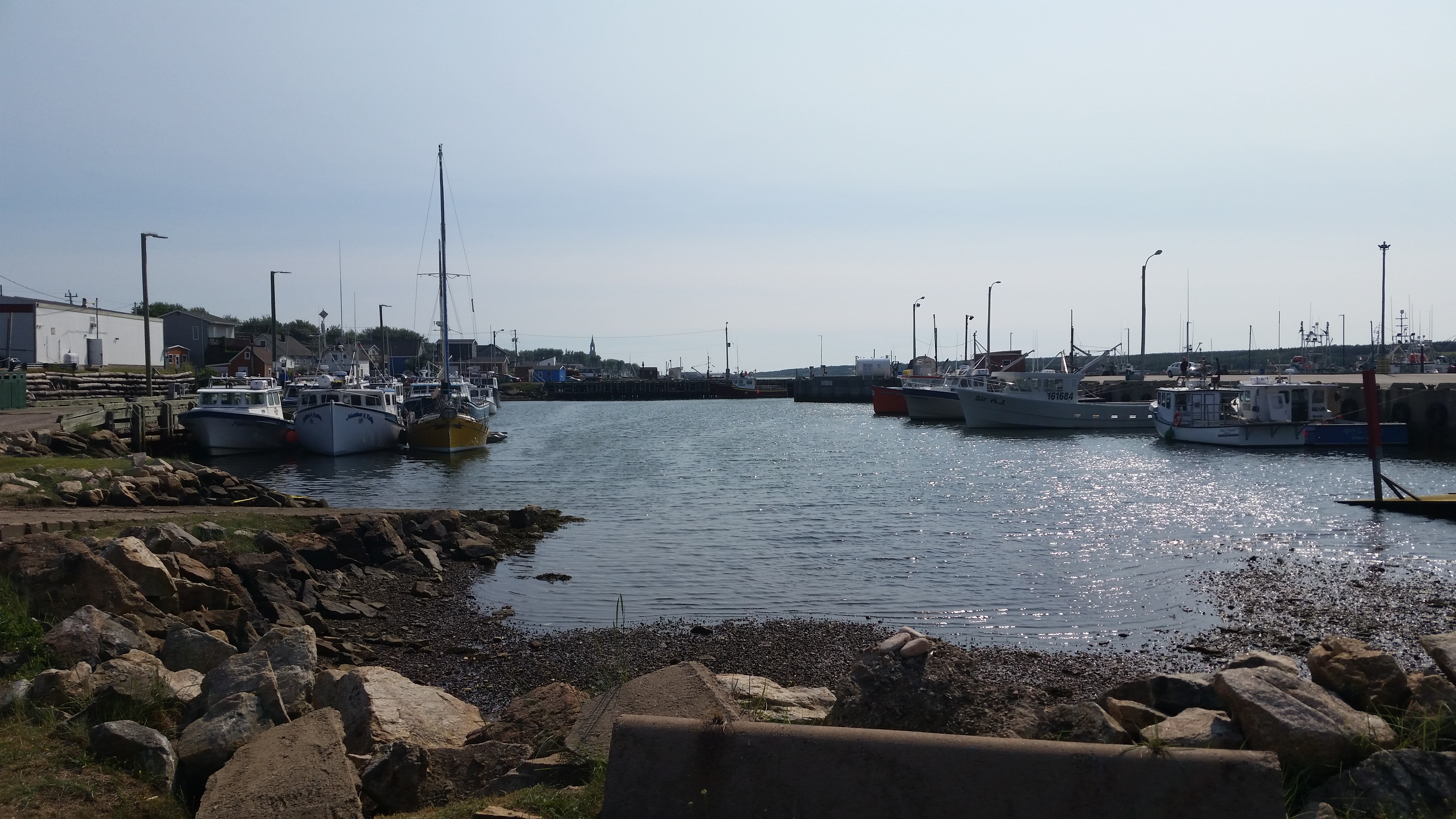
Cheticamp is on the western section of the Cabot Trail.
If you stay at the Hideaway campground like we did, drive out to the Trail
and make a right. The road from Pleasant Bay down to Cheticamp is a mixture of hassle and
pleasure. There were two or three construction zones where traffic was very slow or
even stopped. Also, there were usually big trucks that slow things down going up the hills.
Speaking of hills, there are a couple really big hills north of Pleasant Bay that can be
challenging for big rigs. We drove the western leg from Bras d'Or up to Hideaway. We
have a Ram 3500 with a Cummings engine, and did not have an easy time getting up the hills.
In fact, our transmission
overheated to the point where we had to pull over for awhile to let things cool down. On the bad sides, our brakes
started smoking more than once; again requiring stops. On the good side, there are lots of lookoffs where you can see
great views and take pics while waiting for things to cool down.
|
When the Trail gets near the ocean you will be rewarded with view after view, each one better than the last.
If you are an impulsive picture taker like me,
don't count on making it to Cheticamp without lots and lots of stops.
In Cheticamp, we ate at the Happy Clam Cafe & Grill, where we had seafood crepes in the
back yard while absorbing the oceanic panorama. The bill was 69.03 C$ for two.

|
|
|
Click here to see photos of Cheticamp on the Cabot Trail.
|
|
The big ferry at North Sydney
15 August 2018
Website
After experiencing the joyous ventures throughout north Cape Breton and the Cabot Trail,
we were anxious to head on up to Newfoundland. We had heard a lot about the big island
and couldn't wait to see if it was really real. As you will read in the blogs on Newfoundland,
we were ecstatic about our stay there.
The drive down to North Sydney on the eastern part of the Trail was somewhat redundant
since we had already covered that territory before, but it was still pretty. From the Trail
we took route 312 close to Englishtown and then soon got onto the 105 (TCH) heading east
through the town of Bras d'Or and then to New Sydney where the ferry leaves for NL.
The ferry trip over to NL was a six hour night trip up to
Channel-Port aux Basques in NL. This pretty much set the pace for what was to come.
 Go back to the previous leg of the journey
Continue on to the next leg of the journey
